And just like that, 2012 and another incredible year in the outdoors has come to an end. I went on 36 total outings this year, climbed just over 100 total named mountains, 127,433 feet of elevation gain, hiked 400 miles, and nearly 300 hours were spent on the trail. And just like 2011, I've selected my top ten moments of the year. To think back that these top ten moments are even possible to accomplish in one year is just something beyond belief.
A few more quick facts for 2012:
Hiked a New England 4000-footer summit 76 times this year, 58 times a White Mountain 4000-footer.
Hiked Mt. Washington four times for the second year in a row.
Hiked 18 new 4000 footers this year in Maine & VT. Only North Brother in ME remained on the list.
Hiked 15 of the White Mountain 4000 footers twice in 2012, and climbed 22 in winter months.
(Click on the title to open that trip report in a new window.)
Saw the sun rise as I reached Trail Crest at 13,000'
One of the most exciting moments of my life was in 2012... atop Mt. Whitney
To all who read, share, comment, follow, like, and converse with me on DMOutdoors, thanks for a great 2012 everyone. I thank you for your continued support, encouragement, and shared enjoyment of the great outdoors.
On Friday morning as snow was still flying, I set off on a climb to the Osceola's. I had climbed them twice already in winter. The first time, back in January '11, was the first time I had ever snowshoed. It took me and my brother all day long. The conditions were far more cold and windy that day, but as I tread through almost a foot of fresh untouched powder for nearly 4 miles, I couldn't help but think back to that day, when I first strapped my new MSR Lightning Ascents on. They still perform flawlessly and just like the day I first used them.
As I started the hike, the thick white blanket of snow all over everything in the woods was a sight to see. It was like an entire different world, and I know many winter hikers are just excited as I am. It was snowing and windy to start. Eventually the sun rose and allowed for some clearing at lower elevation.
Rising sun from Mt. Osceola Trail
A brief view of the sky en route to East Osceola
Once I hit the slide, I remembered that most of the way is pretty steep from here. As you can see below, the slide had a thin layer of ice, and the snow was blown off it. This area didn't cause any difficulty, but most of the way from here all of the way to Osceola was twice as hard as from the trail head to the slide.
Looking up the slide section
East Osceola summit, 46th solo 4000-footer
After bagging East Osceola, I looked forward to the Bypass section. I descended off the backside sliding down the drifts of powdery snow in my snowshoes. When I arrived at the Chimney and Bypass, it was another sight to see. Completely untouched snow filled the area. No one else but me would see it this way today. I started to climb the bypass, and about 5 or so feet up, I definitely slipped and slid back down. Luckily, the rocks aren't too sharp and my snowshoes didn't get caught. I made it fine on the second try, but towards the top, I had to jam my arm into the snow for leverage, and basically crawl up. With all of this snow like this, I could've been somewhere in the middle of the Alaskan backcountry for all I knew. It was tough.
Chimney ahead, Bypass to the right
Looking up the Bypass
I was getting anxious to get to Osceola, because it meant that I would have it much easier going back. When I arrived, it looked the same as it did on my first time here. I had views once here, but it felt like deja vu. Osceola was the 47th summit I've hiked solo, and I now have only Cannon left to hike solo. Despite it being my 3rd time in winter here, they were new December peaks on my grid. I am approaching 25% completed.
Osceola summit
My plan for this last week was to go on a rampage bagging 8+ peaks (a tentative Presi Traverse was planned too), but the weather really screwed things up. I was already starting to feel the effects of a head cold before this hike, so when I got back home, my head stuffed up so bad, and I couldn't muster it up to get back out there the following day (today). Planning for this single season thing is not easy. Already, its been affected by this dumping of snow, and threatening of additional storms. I'm already seeing how difficult its going to be. This upcoming week's weather is looking good so far; let's hope it doesn't do anything else, and the trails stay nicely broken out for me! (and this cold goes away)
My snowshoe tracks on the way back
Hike Stats:
Trails: Greeley Ponds Trail, Mt. Osceola Trail
Distance: 7.6 mi.
Elevation Gain: 3,100 ft.
Actual Book Time: 7:10
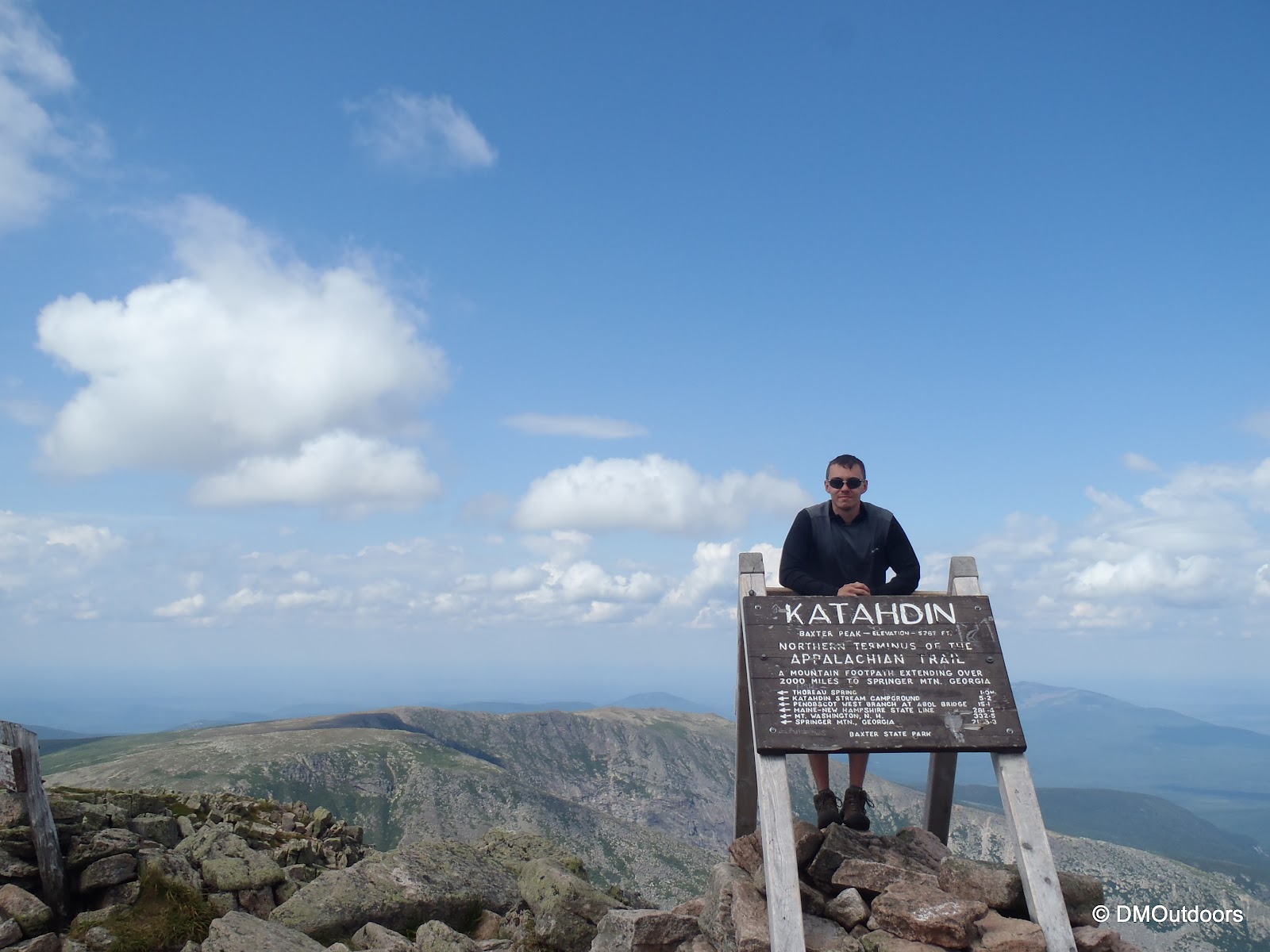
Winter is underway, and I'm announcing more winter fun! This March, a trip is planned to the beautiful Baxter State Park for an epic long weekend of winter fun - climbing, skiing, and more. Myself, my brother Bill, Mike from The Outhouse, and three good friends will partake in this exciting adventure over three nights and four days as we go for a summit attempt of Mt. Katahdin.
In late October, I drafted up a rough plan, and the six of us decided, heck yes, let's go for it. The reservation went in November 1st. I'll be putting together a few reports leading up to the adventure in March about our planning for this Baxter adventure.
To say that the first hike of the winter was a challenge, would be an understatement. This one had its good and bad, and little bit of what winter hiking is all about. It was snow showering for all thirteen and half hours, and my water was frozen pretty quickly. This was a solo Sandwich Range traverse over the Tripyramids, Whiteface, and Passaconaway on December 22nd. I was hiking the Tripyramids for the first time solo, and Whiteface and Passaconaway for the first time in winter.
Thanks to my dad for the ride from Ferncroft, where I left my car, to the Kanc. Just steps after the trail head sign for the Pine Bend Brook Trail, snowshoes were necessary, as there was a crust layer with at least 3 inches of snow underneath. As I went further, it got deeper under the crust (it was this way and sometimes deeper all hike long). The first mile, I was getting the feel for the snowshoes again, because I knew I'd have them on all day. No one had been up the trail, as I suspected would be the case.
Pine Bend Brook Trail
The Pine Bend brook crossings were not much of an issue, except for getting the feel again of hopping over rocks with a foot of snow on them with your snowshoes. I entered the Sandwich Range Wilderness, and all I could think of was that the Sandwich Range Wilderness was going to kick my ass today, but I kept on going - I didn't really have a choice. The trail steepens shortly after crossing the wilderness boundary. At this point, it was like hitting a wall in terms of having my pace. It took me a little over 3 hrs to reach North Tripyramid.
Brook crossing on Pine Bend Brook Trail
Entering the Sandwich Range Wilderness
It's nice when the trail has a section broken up with junctions. It felt like a matter of minutes, and I had gone .8 miles, and arrived at the summit of Middle Tripyramid. Middle Tripyramid was my 45th solo 4000 footer. There wasn't much of a view. I started to settle for a break in the trees, but after a minute or so, my hands said otherwise. I got moving again, and took it later. The rest of the way over to South Tripyramid and down to the slide opening was uneventful, and rather gentle compared to the steep part of the ascent.
Looking down Tripyramid's south slide
As I started to cross the south slide, I realized that the conditions were pretty unstable. About 10 steps in, my snowshoe made a top crust piece about 2 manhole covers wide fall down the slide a good distance. The granular underneath gave me a mini avalanche show as it built up on its way down. It was quite interesting and difficult. A misstep here would have easily resulted in a slide all of the way down into the trees. I shuffled my way carefully over to the left to meet up with the Kate Sleeper sign.
Kate Sleeper trail sign
I knew the next part of this hike was going to be VERY difficult with the recent damage, but the Kate Sleeper had no issues all of the way to the East Sleeper junction. I noticed the trail damage immediately behind the junction sign, but before venturing forward, I quickly went up and bagged East Sleeper in the winter, why not right?
Sleepers, East Peak
You can see in the background of the photo about the massive damage sustained in the area from recent storms. Picture a narrow trail with huge trees crossing everywhere. As I started into the area after East Sleeper, doing my best to stay with the trail, it looked like there was no trail, and it was all completely open. The place was obliterated, and just when I thought I was doing well, I was almost doing a lap around the back of East Sleeper. While it didn't come quickly at all, I was able to get my path back on track. This became a bushwhack from hell, with an increasing amount of nervousness every minute. I nearly lost one of my 32oz water bottles, and my snowshoe got caught between two blowdowns, nearly hyper-extending my knee. Once I found the trail again, it didn't get an easier, and I was literally crawling on hands on knees and walking across trees about 5 feet off the ground in snowshoes. I was relieved as I could ever be when I saw brownish snow, which was the Downes Brook running underneath the snow cover. Unfortunately, I have no photos or video from this ordeal. It required 100% of my attention, and I didn't want to risk losing anything.
On the ascent to the Rollins Trail, I battled a few more blowdowns and some hangers. I was excited to hit the Rollins Trail. I actually took a break of about 10 minutes here to re-gather myself, and I threw on my North Face down vest on under my new Arc'teryx Theta AR hard shell. I was plenty warm now, and was gearing up for some night-time winter hiking. After the nice break, I took another quick stop on my way past the summit of Whiteface while the sky still had some blue in it. This was my first time to the summit of Whiteface in winter.
Mt. Whiteface summit
Shortly later, the headlamp became necessary; I had strapped it on at the last break. I had just picked up a new Black Diamond Scope headlamp, which was great. It was the only light aid I needed the rest of my way. The Rollins Trail is really narrow. It's easy to follow when there are no blowdowns, but I did encounter one really rough section, and then it was difficult to find the narrow trail on the other side. This was the last section of ridiculous blowdowns I experienced. The only other problem on the rest of the Rollins Trail were heavy hanging trees and twigs iced in place. Despite this, I was in pretty good spirits because of a sweet winter evening view of Passaconaway, to which I was headed. The moon was present off and on behind the clouds, and the lights shone below in Wonalancet, which meant I would be back at my car soon.
Mt. Passaconaway seen from the Rollins Trail
The moon provided a slight extension to daylight
After what felt like a really long time, I finally made it to the junction with the Dicey's Mill Trail. What I saw was the most welcome sight all day, human tracks. I decided to leave my pack at the junction and go up to Passaconaway lightweight. I had tracks leading the way, but still this 700 foot gain is never easy. As I ascended, the wind was picking up, which made me be on high-alert for any cracking sound. About half way up, I heard the crack I dreaded. It was a safe distance off the trail, but it was loud. I don't think it sent the tree crashing, but it was enough to send chills right through me, despite me being complete;y warm in my new jacket. I passed the brief opening, which was completely dark with white snow barreling through. In just a few feet I was passing the sign directing me to the completely enclosed summit. Both of my waters were completely frozen at the junction, so I drank a sip of my Gatorade which I had stuffed in my down vest near my stomach for the jaunt to the summit. After my refreshing sips of unfrozen Gatorade, I descended back to my pack as quickly as I could.
Sign for Passaconway summit
This is when I did the Spot check-in, "All ok on the trail." The Spot stayed attached to my pack as it sat at the junctions, but seemed to report my location as if I was doing circles in a very small radius. It may have seemed like I was lost if you were following, but I had informed home base that I was leaving the pack there. This is and the not-so-perfect track is all a drawback of the Spot, which does not work well in the trees. The new smartphone apps produce far better tracking maps.
Now, all I had to do was follow the Dicey's Mill Trail and the tracks before me down to Ferncroft. To the person who hiked Passaconway last, thank you. You made the end of this brutal hike much more pleasant. Right after passing the junction with the Tom Wiggin trail, which is about halfway down, the wind picked up ferociously through the area, blowing the snow more, and putting me back on high alert for falling trees. As I looked up, sometimes the moon would be there, and at another time I would see some stars, and the faint outline of the mountains against the sky. This was a really intense, but beautiful atmosphere.
Dicey's Mill Trail brook crossing (crossed the rocks on the right in this photo)
Ferncroft Road
Thirteen and a half hours later, it was still cold and it was still snowing. Through that, I broke trail for most of the 16.7 miles all done in snowshoes. I picked up two new winter peaks, and my first four peaks of this winter 48 goal. I'll just call this first winter hike the ultimate winter hiking preparedness course. Instead of a second hike this weekend, I got to watch the Pats and bring you the nitty gritty details from this challenging ordeal. I'll be back at it later next week! Hike Stats
Trails: Pine Bend Brook Trail, Mt. Tripyramid Trail, Kate Sleeper Trail, Rollins Trail, Dicey's Mill Trail, Blueberry Ledge Trail