Two weeks ago, after a two-week break, it was nice to get back into the mountains again, and for something different than the norm too. Me and Philip, author of
Section Hiker.com, are on our own journeys, plucking away at the seventy-two Trailwright 4000 footers in the White Mountains, a list that requires extra effort and dedicated hikes to remote peaks. Philip put a nice group and plan together for a go at Southwest Twin mountain (4,357'), which is remote sub-peak of South Twin (4,902') that requires a bushwhack to reach its summit.
I've got a couple easy bushwhacks under my belt, so I was really looking forward to this hike, which included members who have a lot more bushwhacking experience. The cool part was that no one in the group had ever been to Southwest Twin before, so it was still going to be nice and fresh for everyone. We arrived at the Gale River Trail head and were off on the trail at about 7:15am. It was pretty chilly; there was snow on the ground, and we could see patchy fog on the mountain-tops above.
 |
| Looking up towards the Twins from the Gale River Trail |
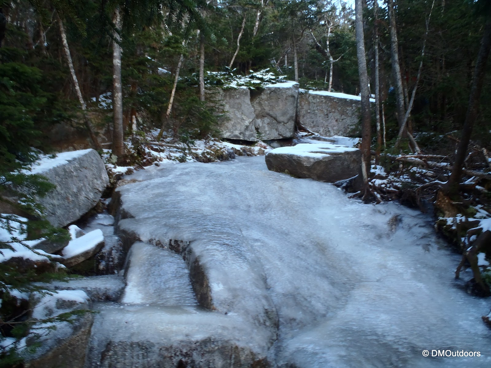
The walk in was nice. As we started to climb, there were some patches of ice. We took a solid break at the junction with the Garfield Ridge Trail to fuel up on some snacks, which included some delicious cookies that Barbara had brought along. It was not too far after the junction on the Garfield Ridge Trail where we began to encounter bigger sheets of ice on the trail, which resulted in another stop to up our traction and put on some spikes.
We arrived at Galehead Hut (closed for the season) hoping to get a nice vantage point of our destination, but were greeted with a thick layer of fog, at first. We took another break here in advance of the steep ascent up to South Twin. I always dread this section of trail, but it gets better and easier the more times its done. As we sat for a few minutes, the fog lifted slightly making way for a half decent view over South Twin's shoulder and up to Galehead.
 |
| View from Galehead Hut |
 |
| Galehead Mountain from the Galehead Hut |
The hike up the Twinway to South Twin went without any issues other than a minor slip or two on the rump. There were about 2-3 very tricky sections of ice that required caution and maneuvering around through the trees. Once halfway up this section, the views back to Garfield and Franconia Ridge are always impressive. When you stand in this spot, on the way up to South Twin, its a reminder of how big South Twin is. (It is number 8 in elevation of the White Mountain 4000-footers list. It's also very wide when viewed from lower elevations) Popping out of the trees onto its summit, it leads to a front row seat view of the Pemigewasset Wilderness, which is always awesome in my book.
 |
| Looking down at Galehead with Garfield and Lafayette |
 |
| Approaching the South Twin summit |
After the patchy fog we had in the morning, it was a perfect weather day. We enjoyed another break and snacks on the summit of South Twin. This was my 6th time to the summit of South Twin, and the only time South Twin was my only 4000 footer on a hike. It was nice going at the mountain that way as opposed to the typical traverse of it on my past hikes (Pemi Loop, etc). I'm was completely satisfied with that having 360 degree views of perfect blue sky, blinding morning sunshine, and endless mountains to look at today from its summit.
 |
| South Twin summit; Mt. Washington in the background |
 |
| Philip and I snap some photos form South Twin |
 |
| What a spot for a break on South Twin |
 |
| Owl's Head and Franconia Ridge with more in the background |
At this time, we realized time was catching up a little bit on us, so we tore ourselves from the amazing views to head down into the trees on the Twinway. At this point, we did have in our view a pretty good look at our destination and the dense trees before it. We found a spot to the right off the Twinway that appeared open enough to start our whack, but once we were in about five minutes, we hit a wall of dense scrub, trees, and blow downs. It was tough going, but we stayed on the bearing very well. It seemed our bearing was correct, however we had started too far right (off the Twinway), and missed the more open woods. Too far right was actually very near to where we should have started the bushwhack. Nevertheless, after difficult terrain and a tiring effort, we spotted the rocky outcropping you can see in the picture below. We headed there, and were treated to a very fine view of the Pemi, Franconia Ridge, South Twin, and even all of the way over the Bonds, Zealand, and more. It was a new view from a spot that very few people visit - that's cool, and was enough to keep everyone satisfied. We were pushing the limits of our agreed cut-off time, and the decision was made to enjoy the 15 minutes we had remaining at that spot, and not risk scrambling back up South Twin in the dark, or possibly still not back to the Twinway.
 |
| Descending Twinway; Southwest Twin is the 3rd bump on the right |
 |
| What it looked like at the very beginning of the 'whack |
 |
| Barbara surfs some krummholz as we all did |
 |
| Philip takes in the view, and scouts the route for next time |
 |
| Galehead and Galehead Hut from a spot seldom visited |
 |
| Looking south at all those peaks over the Bonds |
 |
| The tricky ice on the Twinway |
 |
| Looking out to the Galehead Hut clearing as final sun fades |
Now, you
must go to Section Hiker's trip report for much more details on the bushwhack,
CLICK HERE.
Philip, Barbara, Alan, and Mike, thank you for a great hike! It was a pleasure to meet each of you. Hopefully we can get back to this one soon.
Hike Stats
Trails: Gale River Trail, Garfield Ridge Trail, Twinway, bushwhack
Distance: 12.6 miles
Elevation Gain: 3,500 ft.
Actual Book Time: 12hrs


No comments:
Post a Comment