Showing posts with label Hale. Show all posts

Tuesday, February 11, 2014

Super Extended Pemi Loop in Winter - February 2014


Last weekend, I completed an overnight “Super Extended” Pemi Loop in winter. As part of my goal to hike the NE67 in winter, I decided to give this thing a go with good weather, and knowledge of a couple of key trails most likely being broken out. To make this version of the Pemi Loop, the “Super Extended “ Pemi Loop, I descended North Twin, and then used the Fire Warden’s Trail to Hale to continue the circuit, getting 13 of 48 4000-footers (Flume, Liberty, Lincoln, Lafayette, Garfield, Galehead, South Twin, North Twin, Hale, Zealand, West Bond, Bond, and Bondcliff).

The total distance was 43.8 miles and the elevation gain was 15,824 feet. I carried an approximately 35 lb pack including overnight gear (25 degree bag, inflatable air mattress, tarp, a couple of emergency blankets for ground tarp, cook set, and 1 can of gas with 2 oatmeal packets and 1 package of noodles for 2-3 meals beyond my few pounds of energy food) I had planned for a stop for wherever along the trail, Guyot Shelter, or whatever other opportunity.

This was an amazing hike featuring sunrises, sunsets, moonlight hiking, and great views, but lots of brutal trail breaking, cold temperatures, and frozen water. As insane as it was, I had good weather, and the amazing experiences along the way kept me going strong through the end.

I started around 2:30am on Saturday morning and hiked for about 18 hours. After breaking out the entire Lend-A-Hand Trail from Hale through the 9PM hour, I had to crash Zealand Hut. I showed up after 10pm, and found a spot in the dining area to lay out my sleeping bag. I cooked my noodle soup, and got a few winks in during my brief stay. I talked to the caretaker and explained what I was up to. I was up and out by the time breakfast was served, having no impact on anyone staying there. On Sunday, I hiked from sunrise until I finally made it out at twilight around 5:30pm.

Here is the story from this amazing adventure, broken down by trail sections:

Lincoln Woods, Osseo Trail & Franconia Ridge Traverse – The trail was broken out to the top of the ladders on the Osseo Trail. I broke trail from there to the summit of Liberty. I then broke trail from the Liberty Springs Trail all of the way to the ridge. I had a little glimpse of sunrise for Flume & Liberty, before it got very windy and cold for Lincoln and Lafayette. From Lincoln, I couldn't wait to get over the shoulders of Lafayette and out of the challenging conditions. I've hit the four Franconia Peaks over 10 times each, and this was probably the 2nd or 3rd most challenging traverse with the cold and wind that I dealt with.

Mt. Flume summit
Mt. Liberty summit

Mt. Lafayette
Garfield Ridge Trail (Lafayette to Garfield) – It was smooth finding the trail off the ridge, and as expected, I broke trail for the entire 3.5 miles to Garfield through snow about a foot deep. I hit a confusing spot in the col, causing a 20 minute delay, but I then continued and popped out onto the Garfield summit, where a large group of people were also arriving, and they were first people I had seen.


Mt. Garfield summit
Garfield Ridge Trail to Galehead – It was a big advantage having the next several miles of this difficult trail broken out, all of the way to the Hut and to the summit of Galehead.  I never, ever under estimate what I might get on the Garfield Ridge Trail in winter, but this time it was straight-forward and pretty quick.


Galehead summit
Galehead Mountain from the Hut
The Twinway, & Twins – Again, nicely broken out, and I made the steep ascent of South Twin arriving just in time for sunset over Franconia Ridge. Continuing on quickly, I arrived at North Twin just after dark, and made a rather laborious and tough descent on the North Twin Trail all of the way until I came to the start of the Firewarden Trail to Hale.

South Twin summit with nice colors
Sunrise behind Lafayette and Franconia Ridge
From South Twin
Firewarden's Trail to Hale – I had plugged the GPS coordinates in for the start of the unmaintained trail, and it was spot on. I was also extremely thrilled to see that, indeed, it was a highway of broken out awesomeness. This was my first time on this route to Mt. Hale, but I have to say that hiking it in the moonlight without the need for a headlamp was a pretty amazing (my first batteries were dying anyways). At this time I was on at least 15 hours of hiking and near 12,000 feet of gain, but the night time scene of this beautiful area was keeping my spirits up and my legs moving. I arrived to Mt. Hale where the moonlight light up the entire summit area. It was awesome.

Mt. Hale summit
Lend-A-Hand Trail & Calling it a Night at Zealand Hut – After the epic moonlight ascent, I faced a completely unbroken Lend-A-Hand Trail which is 2.7 miles to the Twinway. In the middle of the night, still with a beautiful and bright half moon, I trudged through a foot of snow, having no problem following this trail, which I had broken out once before. I had pondered setting up a camp in the preceeding hours, but after Lend-A-Hand, I quietly made my “crash” stop at Zealand Hut described above.

Twinway to Zealand – I left the hut as the sun was coming up. The trail was broken out to the first height of land before Zeacliff, where there was an amazing morning view. I then broke out the next one and half miles or so to Zealand. There were fox or coyote tracks from the Zealand Summit all of the way to Mt. Guyot. I followed those tracks and broke the rest of the 1.6 miles of trail to Guyot, which had stunning views.

Looking towards Zealand from where the broken trail stopped
Eeeek!
Something was on Zealand before me! 
Zealand summit
Bondcliff Trail & Bonds - I was pleased to see from Guyot some inviting snow shoe tracks towards the Bonds.  Being on this remote stretch of trail in beautiful weather was uplifting.  I dropped the pack for West Bond, and made it out quickly.  This was my first time back to West Bond in winter since my winter finish last year.  It was actually a very similar morning.  I spent a good few minutes on the summit enjoying the views and checking in with family after no cell service since yesterday afternoon.  I was in good spirits, made my way up to Bond for more views, and things got better as I kept moving toward Bondcliff. The scene was pretty sweet heading to Bondcliff, my 13th and last peak on this epic adventure.

Mt. Guyot

Final push to West Bond
My 10th summit of West Bond in the 10th different month
The Bonds ridge

Bondcliff
The Rest of the Way - To make things even sweeter, the Bondcliff Trail in the other direction was also broken out very nicely. THANK YOU! I was going to take a break around Bondcliff, but I motored on down to the last river crossing to take it instead.  I was getting very hungry again, so I stopped to cook my couple of oatmeal packets and drink some actual water to fuel up for the rest of the way.  After that, I was good. I put the snowshoes on the pack, and bare-booted it all of the way from that spot on the nicely packed trail. With daylight still around, and knowing I'd finish before dark, I was pumped. While on other Pemi Loops, I've walked this trail back practically limping, but this time everything was strong to the end.

The 3rd stream crossing on the descent
My nice meal break before the final push out!
A little under 3 miles to go!
Alas, I made it.
This was an awesome endeavor for a lot of reasons - mostly the views and experiencing the awesome fresh snow, but 11 of the 13 peaks counted to February for my grid, and most of these peaks counted for rounds 7 or higher.  After hiking 18 of 19 peaks in Maine and Vermont so far this winter (North Brother remains), I've done 20 NH 4000-footers in just five hiking days, bringing me to 38 of 67 this winter with only 10 or 11 more possible hiking days to try for 29 more (I only hike weekends). Two of those hiking days will be needed for North Brother.  It should be an exciting finish to the winter as I go for it and should pass a couple of more interesting milestones (4th round and all NE4Ks solo in winter). Thanks for reading, and I hope you enjoy reading about my craziness and excitement of going for the New England peak in winter!


Wednesday, January 30, 2013

W48-in-1: Galehead, Twins, Zealand, & Hale - 1/26/2013

This Saturday, I took on a long and difficult hike over five 4000-footers to the north of the Pemi Wilderness. For 26.5 miles, and for just over twelve hours, I traversed solo over Galehead, South Twin, North Twin, Zealand, and Hale each for the first time in winter.  I didn't see a single other person from start to finish. The temperatures were absolutely frigid, and for the duration of the hike, anything exposure over about 2 minutes started to numb the hands. Despite the frigid cold, the weather was spectacular and the views were some of the best I've ever seen from these peaks. These were peaks 22-26 this winter season.

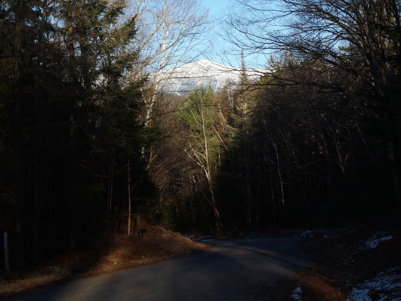
I started at 4:30am from the Beaver Brook Wayside area on Route 3. This was my first time using this shortcut to the Gale River Trail via the Gale River Loop Road on the cross country ski trail. The trail was marked and packed out with ski tracks as well as snow shoe tracks. After about a mile on the ski trail, the spot was obvious where the path veers right and onto the Gale River Loop Road. I then found myself at the start of the Gale River Trail, where I took my first of many super-quick breaks. Wow that shortcut was a lot easier than I anticipated. I then hiked through moonlit woods up the trail to the spot that overlooks the river where there would be views up to the Twins. There was just a slither of blue in the sky above the ridge - I could tell it was going to be a beautiful day in the mountains. I reached the Garfield Ridge Trail (about 5.6 miles) in just a few minutes over 2 hours - a nice warm-up.
From the Gale River Trail at morning twilight
I reached the Galehead Hut to be greeted with clouds whizzing through the pass between S. Twin and Galehead - as they so often do. Without delay, I dropped my pack just beyond the hut, and scooted up to the Galehead summit for the first time in winter.
View from Galehead Hut 
Galehead summit in winter
I've stated this before, but the .8 mi 1,100 ft. ascent of South Twin gets easier and easier every time. With my televator bars propped up on the MSR lightning ascents, it was a steady, but straightforward ascent. As I inched nearer to the summit, I was awe-struck by the views behind me of the Franconia Ridge with the clouds going over Galehead.

As I reached the rocky summit of South Twin for the 7th time and for the first time in winter, I could see mountains forever through my frost-laced eyelashes! Low-lying clouds skirted some of the peaks, and I spent a few short minutes taking in those sights.

Pemi Wilderness and Franconia Ridge from South Twin

I was pleased to see that the North Twin Spur had been recently traveled. It was easy snowshoeing, and I arrived at the summit of North Twin to take in the views. It was the most spectacular view I've had from this summit.
North Twin summit outlook in winter
North Twin Spur
Looking back at South Twin from North Twin Spur
On the way back to South Twin, the Presidential's were eye-catching to say the least. There was some increased wind when I arrived back at South Twin, so without stopping, I went right over the top and quickly down into the trees on the Twinway. As I made my way over, I saw the trail was a fresh blanket of powdery snow, which I basically skated smoothly down in my snowshoes until it leveled out! This is a beautiful area of the Whites, and traversing this section solo through about a half a foot of untouched powder was a nice treat. The white blazes were tough to locate, but the corridor was extremely easy to follow, allowing for pure enjoyment of this remote section of the hike.
Presidential Range from the North Twin Spur
As I passed over Guyot, I slowed down a few steps, did some 360s, and took it all in - this was the spot to be on a day with visibility like Saturday. After that, it was more great trail as I stopped at the summit of Zealand, and continued onto the junction with the Lend-A-Hand Trail.
Passing of Mt. Guyot with the Presidentials 
Mt. Zealand summit in winter 
Right here at the junction sign just a short distance from Zealand Falls Hut, I took a solid 10 minute break. I added a layer as it was starting to get chilly as I was now into the afternoon hours. I ate some peanut butter crackers, a snickers bar, and had some water. The Lend-A-Hand Trail was broken out with skis, and that again became an advantage for me because this was my first time on this trail. It was a beautiful trail, and the 1,100 feet of elevation gain wasn't that bad. All I knew was that I was getting close to success on Mt. Hale. When I arrived at the summit, I stood on the cairn and couldn't see much of anything other than an truly awesome display of clouds for my last peak on this adventure.
Lend-A-Hand and Twinway junction 
Lend-A-Hand Trail 
Mt. Hale summit in winter 
Beautiful view from Mt. Hale to end my day
After Hale, my plan from the start was to head down to Zealand Road and 302, and the plan was to find a ride back to my car. Rather than hitchhiking, I walked an additional two miles to the pizza shop, where I scored a ride back to my car, which was 7 miles up the road at Beaver Brook Wayside Area. It was so nice to walk into the pizza place and get blasted with hot air. I grabbed a small pizza for the ride south to Tilton, and it was quick to bed for a lengthy night's sleep to rest up for another one tomorrow! One of my "easy"  single peak hikes remaining, Moosilauke, it would be.

This hike couldn't have gone more perfect. I had spent a significant amount of time the prior week preparing for this solo hike. I carried two maps, one which detailed the forest roads more than the AMC map. I carried a sleeping bag, emergency bivy, an emergency stove and lightweight pan (to melt snow if needed), and also an emergency tarp to be used as an insulator or shelter. I didn't make any changes to my plan during the hike, and the trail conditions worked in my favor, allowing me to travel between 2-3 mph throughout the entire hike. I attribute the way it turned out to covering every single base I can when it comes to planning for a solo hike of this magnitude. This one was a favorite!

Hike Stats
Trails: Beaver Brook XC Ski Trail, Gale River Loop Road, Gale River Trail, Garfield Ridge Trail, Frost Trail, Twinway, North Twin Spur,  Lend-A-Hand Trail, Hale Brook Trail, Zealand Road
Distance: 26.5 miles (+2 mi. Zealand Rd. to Catalano's Pizza where I got ride back to my car) 28.5 miles
Elevation Gain: 6,150 ft.
Actual Book Time: 12:15


Wednesday, April 4, 2012

Mt. Hale - 3/31/2012

It was 11:40am Saturday, as I made it back to the Ferncroft parking area after my hike to Whiteface and Passaconaway earlier. With that done, I had one more peak to bag before calling it a night and getting ready for the next day's adventure. That was Mt. Hale. From Wonalancet, I made it to the parking area across from Zealand Road on 302 in about an hour including a stop to get some more snack supplies at the Irving up ahead. I set off up Zealand Road from the lot at about 1:30pm.

By now, the day was so beautiful, bright, and sunny. I saw two women near the beginning of the road on my way in, and that was it. The road got slightly mushy in some places making it seem like a treadmill providing some resistance, but I would try to find the crunchy sparse snow or harder gravel to walk on. I made the approximately 2.5 mile walk in exactly one hour. 
Start of the Hale Brook Trail
Once past the stream on the Hale Brook Trail, there was some snow and a monorail with pretty good footing on either side of it, but it would still make me slip here and there like going up Passaconaway earlier. Hale is a pretty steep climb given the mileage, and its not necessarily very easy, but I don't recall stopping once. I noticed at how well I was doing on time, and just kept it going, one foot in front of the other to the top.
Hale Brook Trail rounding the corner near the top
The summit was spectacular. It was so bright and not a cloud in the sky. Despite no magnificent views from below the tress, it was a great hike. I enjoyed a quick snack and took in the summit all by myself for about 10 minutes. I looked up and saw the crescent moon setting among the deep blue sky.

Open summit of Mt. Hale
Me on Mt. Hale for the 2nd time (#43)
Next, I got ready for the gallop down, which went very well with no falls. The road walk was not easy physically or mentally, but I had a nice few glimpses of Mt. Washington along the way to boost my spirits. Normally, Mt. Hale is 4.4 miles and 2200ft, but this time with the road closed, its nearly 10 miles. In total for the day, I hiked 21.3 miles and 6,750 feet of elevation gain.


Since I was back to my car around 5:30pm, I had a whole bunch time to get settled for the night before my next hike on Sunday, which would be approximately another 20 miles but with more elevation gain than I just did today. That was something I was a little bit nervous of because I had not decided my exact route just yet in order to end on Carter Dome. I hopped in the car and my next stop was Gorham to get a huge meal in me for the night, some snacks for the night, morning, and hike, a couple of batteries, and some more drinks. After I picked those items up, I headed down Route 16 and car-camped it in the Pinkham Notch Visitor Center lot. This was safest lot in the area to do this, and because I was by myself with no car spot, its at least accessible for a few mile walk depending where I would end.

Be sure to stay tuned and read my next trip report on the Wildcats and Carters to see how I wrapped up this mammoth weekend hiking 8 peaks to finish my second round.

Hike Stats
Trails: Zealand Road, Hale Brook Trail
Distance: 9.4 miles
Elevation Gain: 2,950 ft
Book Time: 4hrs