Showing posts with label Moosilauke. Show all posts

Thursday, May 7, 2015

Mt. Moosilauke & Mt. Tecumseh - 5/6/15


Talk about a beautiful evening for a hike. With my friend Alton, we decided this Wednesday night would be a good candidate for a Moosilauke and Tecumseh double.  Knowing how awesome sunset from the Moose is, we decided to hit that one first.  With the weather really nice, we moved quickly up to South Peak, and then arrived perfectly on-time for sunset on the summit of Moosilauke.  There is nothing better than a perfectly timed sunset summit arrival, especially when your flying out of work and just trying to get two hikes in.  With a little constant breeze across the summit, we spent about 10 minutes or so watching the sun dip below the mountains to the west.  After that, we ran all the way down.
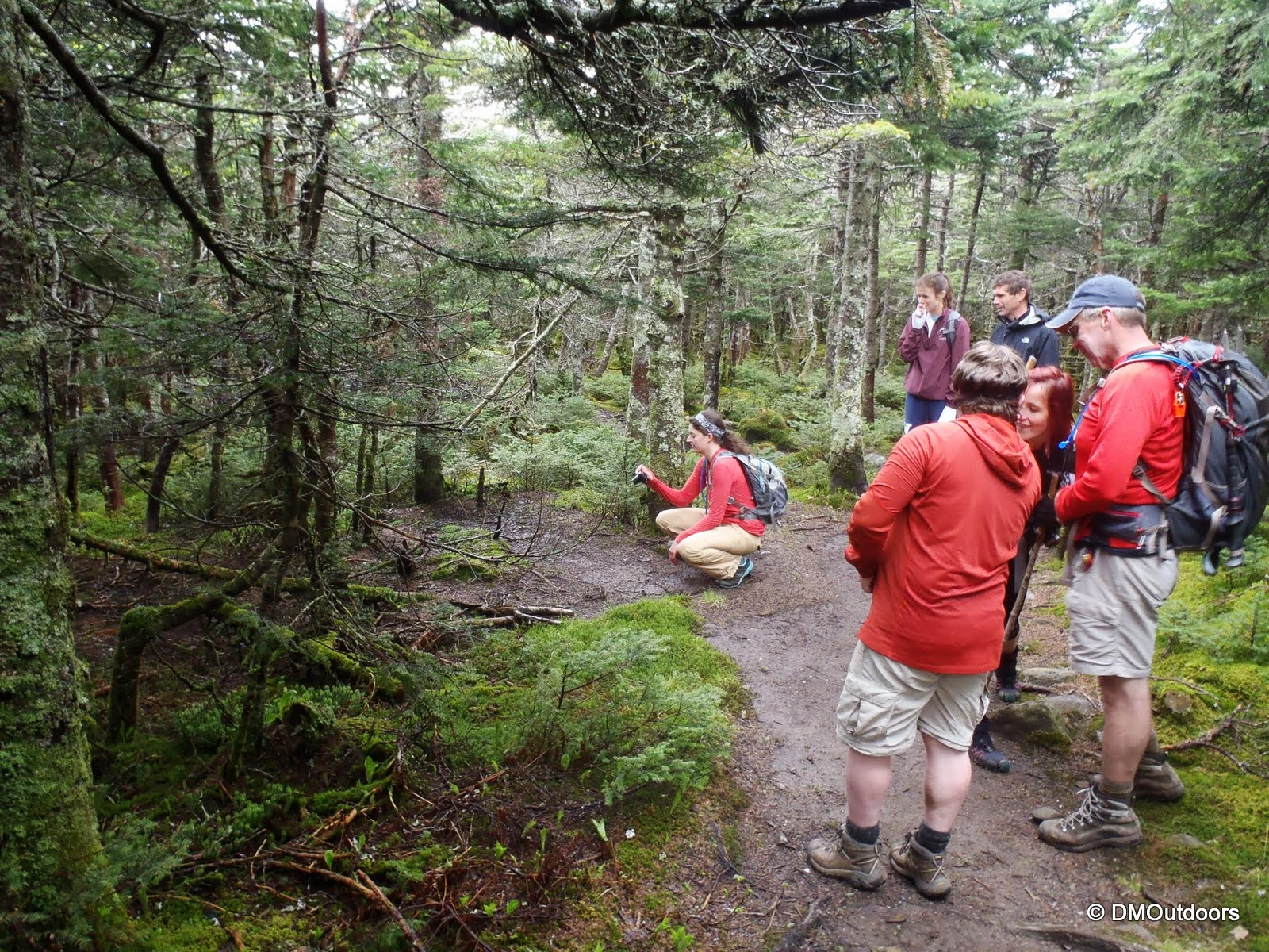
Glencliff Trail
Hummmmmmmmmmmmm - South Peak Sunset
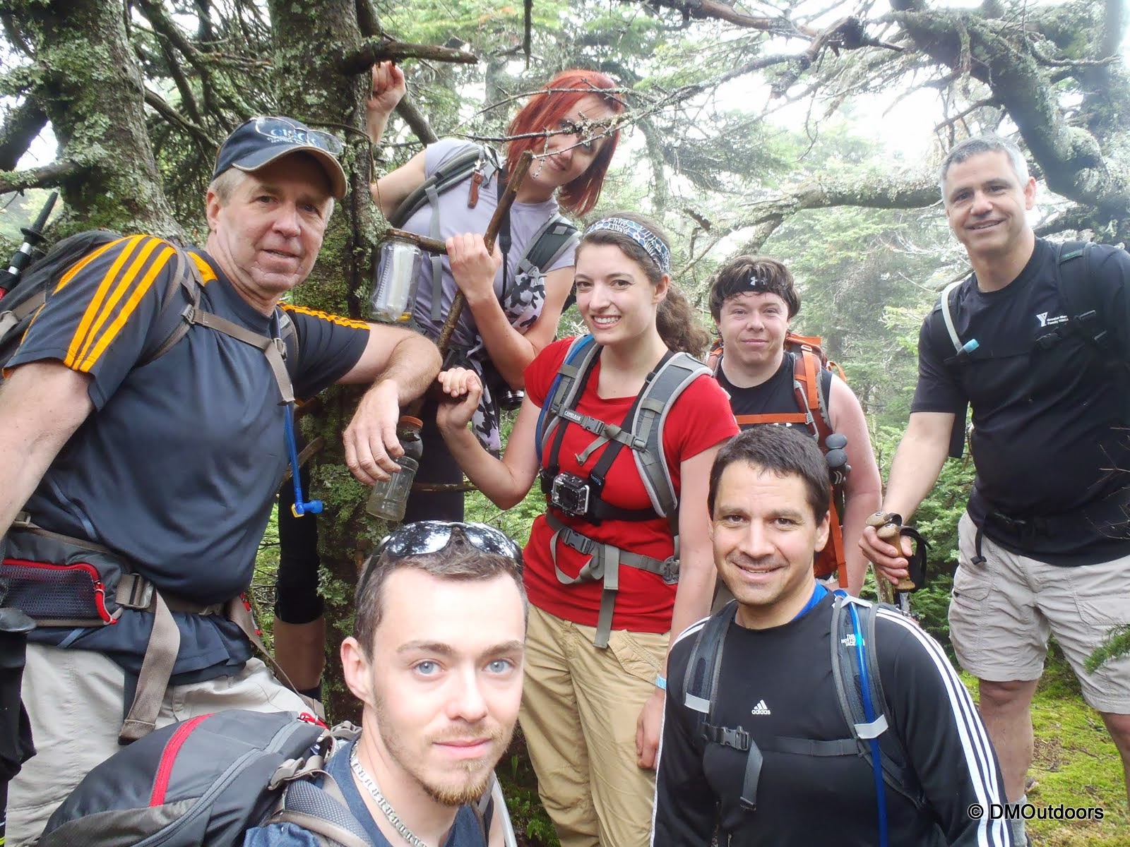
Cole leading us all to the summit
Sunset from Moosilauke
Moosilauke summit
It took us exactly one hour to race over to Mt. Tecumseh.  With dry socks but soaked shoes, up we went the steady and mighty Tecumseh.  It was much icier than the Moose, so it was pretty tough on the legs.  At one point the moon had risen over the horizon and seemed as if someone turned a light on.  We pushed up the last stretch, where the monorail was a real crumbly knife edge, and we hit the summit in the almost full-moonlight.  Looking at the time, and knowing we'd get home by 2am, we ran all the way down putting the trust in our legs on the trail of ice.
Fast and fun hiking duo
Cole on Tecumseh in the moonlight
All said and done, I put up new fastest times to each of these peaks (any season), doing them back to back, and with icy post-holed monorail conditions.


Highlights:
Moosilauke - 12th Round
Tecumseh - 10th Round
New personal fastest book times on both peaks.
Spectacular sunset on Moosilauke followed by illuminated woods on Tecumseh from the brightness of an almost full moon.

Trail Conditions:
Moosilauke - The trail is bare for about half of the ascent to ridge, where it turns into sections of ice, followed by sections of larger monorail that is basically a little knife edge dirtied by all the pine needles.  The snow was hardened enough to make it fairly easy to bareboot it all of the way to South Peak and Moosilauke, but be warned, you will get your feet soaked if you don't wear full gaiters.  We wore microspikes for half of the descent to cope with the snow and ice.

Soft snow, with some hardened steps and postholes
Tecumseh - Tecumseh was bare to start, but the ice and snow started very early.  The ice on the trail was much more slippery and treacherous.  Slowly, there was more snow than ice, however the stepping was irregular, which really made it seem like a hamstring workout to try to prevent your step up from slipping back.  Although we bare-booted up, microspikes would be helpful.  They were required for the descent so to not kill our selves on the treacherous ice.

Icy trail

Hike Stats

Moosilauke
Trails: Glencliff Trail, South Peak Spur, Moosilauke Carriage Road
Distance: 7.8 miles
Elevation Gain: 3,508 ft.
Actual Book Time: 3:05
Garmin Adventure Not Available

Tecumseh
Trails: Mt. Tecumseh Trail
Distance: 4.8 miles
Elevation Gain: 2,488 ft.
Actual Book Time: 1:54
Garmin Adventure Not Available

Photo Album Link

Thursday, August 14, 2014

Mt. Moosilauke & South Peak for Sunset - 7/30/14


This little adventure here is another one of my recent mid-week night jaunts up above 4,000 feet.  This time, it was the convenient Mt. Moosilauke on Wednesday, July 30th, and I had a date with sunset on the summit.  I'm hardly ever late for anything except work, but either way my goal for this one was to work hard, stay on point, focused, and push myself to guarantee my arrival for sunset....and then, of course, enjoy it!  With it being 6:15pm and just the Glencliff Trail ahead, I know that it wouldn't be a problem, as I've done this whole hike in 3.5 hours before.
The field before the start of the Glencliff Trail
Glencliff Trail to Moosilauke 
TIP: An evening hike up the Glencliff Trail is always nice because
you have the setting sun for longer on the West side of the Mountain
Indeed it was not a problem.  I made it to the Carriage road, three miles up in one hour flat at 7:10pm, which meant I had plenty of time to visit South Peak before sunset at 8:14pm.  I had not been to South Peak since April of 2012, so I was excited to be up here with such great evening weather and an awesome view of the Moose. 
South Peak spur, with the sun shining through the trees 
Moosilauke, South Peak with the main peak being the tallest
Panorama from South Peak  
After a few short minutes, I dipped back down the spur to the Carriage Trail and started up the last .6 miles to summit.  I arrived at 8:06pm, just a few minutes under two hours from my start, and 8 minutes early for my date with sunset.  This was my 9th time to the summit of Moosilauke, and my 90th 4,000 footer in 2014.  After pushing it up the mountain at nearly 3mph, I took a lengthy break up on top, about 40 minutes enjoying the beautiful night.  The moon was out with the sunset, and it was clear and the most calm ever on Moosilauke. I did not see a single person the entire time, which really made this hike and summit special because its rare, even if it was a Wednesday night.
Sunset from the summit of Moosilauke 
My 9th Moosilauke summit 


After finishing this one, I drove back to MA, arriving home at midnight.  Its totally awesome that certain days I can leave work, drive to NH, bag a 4,000-footer, and get home by midnight.  I need to get these mid-week jaunts on a more strict schedule with myself.  However, I can promise that there will be a couple of these in the next two weeks, as I get ready for an upcoming adventure.  Thanks for reading! 
Hike Stats
Trails: Glencliff Trail, Moosilauke Carriage Road
Distance: 9 miles
Elevation Gain: 3,731 ft.
Actual Book Time: 4:45

Sunday, December 8, 2013

Tecumseh & Moosilauke Double - 12/7/2013


With only two more weekends left to go before the start of winter, my plan for Saturday was to hike a double hit and run of Tecumseh and Moosilauke. Winter's coming, and this entire day's goal was to make sure that my determination, drive, and ability is just as it was this time last year. Also to make sure I'm ready for the mind game of climbing up and down multiple 4000-footers in a day. Sure enough, I found that it was there.
Mt. Tecumseh / Waterville Valley parking lot
I began my hike up Mt. Tecumseh at 6:42am. The lower part of the trail had some ice, mostly right in the middle of the lane. Heading down into the col and the second crossing is where it become mostly iced over. I continued up.  The few inches of snow from the day before, became the couple of  inches of solid ice, mixed in with the rocks. Microspikes went on near the halfway viewpoint. I arrived at the summit in a smidge over an hour at 7:50. There were heavy clouds and a limited view, so I took a couple of photos, tightened up the gear, and started my rapid descent down.

Mt. Tecumseh summit
Since I saw the far ski trail all grassy still, I decided to head out there, but after I started down and came around the bend slightly, I saw the lower half open with skiers flying down. I quickly banged a left back into the woods, and did a Tecumseh bushwhack back to the trail (FYI - Waterville now has detailed Wildcat-like rules for hiking on trails, check their website).  It added a couple of hundred feet to get over the ridge, but it actually reduced the mileage to 4.5 on this trip. I arrived back at my car in 2 hours and 10 minutes. I have twice completed a Tecumseh in two hours before, but those two were when I sledded down.


Next, I hopped in the car quickly, and started my drive to the Glencliff Trail for Moosilauke, which took 55 minutes. I needed about 15 minutes to prep my pack at the trail head, but at 10:30am, I was on my way up. The lower part of the trail was free and clear of most ice.  About halfway up, the ice started. Crazily, I was moving so fast, that I pushed and tested myself by not putting on the microspikes. I passed 3 groups on the way, and once onto the Carriage Road Trail, I put on the spikes, intending to have them on from here on out. It was a bit windy once on the ridge, so I had my balaclava on and heavy gloves. It was probably around 10 degrees with a below zero wind chill.  Moosilauke is always great, and I reached summit where I exchanged summit photos quickly with another pair. They had come up Beaver Brook, which I'm sure was pretty icy.
Glencliff Trail to Moosilauke 
Not going on here yet in terms of winter 
Some winter here, but definitely still looks like December 
Mt. Moosilauke for the 7th time
The rest was history. With my microspikes on, I speed-walked and jogged my way all the way down. Careful, calculated steps over the ice only resulted in 4 full-on wipeouts along the way, but none of which resulted in pain! I had passed two of the three groups I passed while ascending. I arrived back at the car finishing Mt. Moosilauke in 3 hours 35 minutes.  I completed the same hike last January in 3 hours 30 minutes. Since the trails were so icy, one might think I brought my ice skates. These hikes were tougher with the rock and ice than with the typical winter snow pack and broken out trail.  All in all, I had set a plan, and did it exactly as I wanted. Those days in the mountains leave you feeling good. One more week before winter....

Total Actual Book Time: 6:42:04 (Including Drive)
GPS

The Hike Stats (combined)
Distance: 11.9 miles
Elevation Gain: 5,749 ft.
Elevation Loss: 5,869 ft
Total Hiking Book Time: 5:46:41

Tecumseh
Trails: Mt. Tecumseh Trail
Distance: 4.5 miles
Elevation Gain: 2,347 ft.
Elevation Loss: 2,397
Actual Book Time: 2:10:18
Moving: 1:53:26
Stopped: 16:52

Drive to Glencliff Trail head
Distance: 43.9 miles
Drive Time: 55:54
Stopped Time: 1:34

Moosilauke
Trails: Glencliff Trail, Moosilauke Carriage Road Trail
Distance: 7.4 miles
Elevation Gain: 3,402 ft.
Elevation Loss: 3,472 ft.
Actual Book Time: 3:35:52
Moving: 2:53:38
Stopped: 30:36

Tuesday, June 25, 2013

Mt. Moosilauke & Mt. Blue (4000-Footer Hike & Social Gathering) - 6/9/13


Now that summer is just about here, and we've been more or less already into it with some decent weather, that also means dodging the rain on a more regular basis. On Sunday, June 9th (a day late because of rain), I joined a big group to take part in a 4000-footer club (Facebook Group) social hike to Mt. Moosilauke. There were several groups organized, starting at multiple trail heads, and the plan was to meet at the summit, which is a favorite in the Whites, to socialize and have a chance to meet the "faces behind the pictures and the avatars" we see online. It was going to be a great hike, and with mostly everyone having completed the 48, its always fun to share and hear of others' stories.

Our group of seven picked the Beaver Brook Trail and consisted of me, my brother Bill, Allison (One, Woman, 48 4000-footers), Kimball (TrailsNH), John, Marta, and Erik. I believe that we all had never been up the Beaver Brook Trail, which is why we chose it. This was my 6th time going to the summit of Mt. Moosilauke. I was definitely pumped to be ascending by the Beaver Brook Trail, because every time I've driven through Kinsman Notch, it always looked so cool and steep. I didn't really know awesome the waterfalls were going to be and the fact that it rained the day before was a real bonus for us all.
Looking up from the Beaver Brook Trail head  
This trail IS sort of tough... 
But well worth it on a nice day with mostly dry trail conditions...
Allison fascinated by a feature of this particular waterfall
Steps on the Beaver Brook Trail 
The climb was very steady, but it was also a lot of fun for us with a nice variety of trail work, including steps, boulders, and rungs to aid in our ascent. This is just the type of stuff that everyone tends to like - climbing! After a good pace, we stopped at the Beaver Brook Shelter for a lengthy break. Here we all rather easily got into a discussion of personal experiences while hiking.
View from the Beaver Brook Shelter 
After our nice break at the shelter, we carried on, making our way to the ridge on the Beaver Brook Trail. Once there, the trail follows the ridge up a little ways up to the junction with the Benton Trail. Before that though, we started to contemplate about hitting Mt. Blue, which is a peak on the Trailwrights 72 list. We had plenty of time still before the 1pm meet time, so of course we did. My brother and I reached the summit of Mt. Blue on the last day of winter in 2011, on our first ascent of Moosilauke, going up by way of the Asquam Ridge. It was warm afternoon when we got it, but the snow was still very deep, all we saw was a circle of snow shoe tracks at the top, and now we realize...a buried canister. Although none of the others in our group had been to Mt. Blue before, the herd path was easily located by them, and we followed it up to the canister, which was a pretty cool thing to see. Here below, you have a sweet shot of a bunch of bushwhackers who are all now officially going for the Trailwrights! This could have been the highlight of the day, and it was definitely a sweet bonus to get all of our names in the register.
Mt. Blue Summit - 
After this, it was still a little ways to the junction of a slightly tricky trail. It seemed that the summit was among the passing fog, and it was quite gusty, but not a total dud, as we at times got a little glimpse of something. Never a bad day, but we were still excited to get to meet some new friends at the summit. We passed a pair who were on the way down because it was gusty and cold up there, so at this point we had learned that some had already left the summit before the 1pm meet time because of that.
From treeline on Moosilauke summit
Mt. Moosilauke, 4th summit
Mt. Moosilauke, 6th summit
The walk above treeline to the summit of Moosilauke is always a good feeling. We arrived at the summit to see a couple of dozen happy hikers, all those we chatted with and shared experiences and photos online for some time now. It was cool to be surrounded by such as group of avid hikers who who've done some amazing hikes, and also who have contributed so much to the hiking community with photography, general information, trail conditions, and more. It was awesome to meet everyone. Although it was a little crappy up on top, it was a fun time at the summit. 
Everyone greeting and conversing near the summit
The Beaver Brook Trail Group - The coolest group of the day. JK
The two next pictures show the best views we had from the summit - just a few minutes, really.


On the way down from the summit, this spruce grouse pictured below allowed all of us to gather and photograph him. Encounters with these "trail chickens" are a mixed bag. They either stand there sternly and do let you pass, come after you or startle you, or some, like this one, are friendly and aren't bothered. This one happened to do the latter and looked very pretty (or handsome) doing it. It had some cool colors on it. After the show, we let it be, and departed and continued our descent under clearing skies....of course.


At the end of the hike, we all gathered for some brews provided by Kim - Thanks! It says something when 7 avid hikers will stand around for about an hour chatting while getting eaten alive by bugs and it doesn't seem to phase anyone.  It was such a fun hike, and I think that something like this should be planned again soon. Thanks a ton to Samantha and Baha for their efforts in organizing this event with this many people.

For even more great photos and perspectives on this hike, check out the trip reports from some of the others that were a part of this event. (If I missed anyone's please send me a message.)

Moosilauke Take Three from Allison.
The Moose in June from Samantha.
Trail Conditions Report on VFTT by Mike Cherim.
Trip report from Ken M. on Hike NH (Gorge Brook Group)
A Meetup on the Moose: Mt. Moosilauke from Chris D.
Trip Report from Scott. L.


Hike Stats
Trails: Beaver Brook Trail, herd path (Mt. Blue)
Distance: 7.6 miles
Elevation Gain: 3,100 ft.
Actual Book Time: 7:00 (includes nearly 2 hours of break time!)

Friday, February 1, 2013

W48-in-1: Moosilauke - 1/27/2013


Sunday, January 27th was a beautiful clear winter day for my last hike this January. After hiking nearly 30 miles the day before, I didn't need to get that super early start with just Moosilauke on my plate for the day, number 27 of this winter. Despite what you might think, I wasn't really tired. For this report, its going to be short and sweet, just like the hike itself. I hiked up to the summit and back in my microspikes, didn't take many breaks along way, and I was back at my car in exactly three and half hours. Of the three and half hours, about 40-50 minutes was above treeline in sub-zero wind chills, BUT with unlimited visibility. It's always nice to get above treeline! (See below for the above tree-line and summit video!)
Pasture next to the Glencliff Trail
Glencliff Trail to Moosilauke
Footbridge on Glencliff Trail
Moosilauke Carriage Road junction
Mt. Moosilauke summit
Summit picture for #27 on the season
Lafayette and Franconia Ridge from Moosilauke

Hike Stats
Trails: Glencliff Trail, Moosilauke Carriage Road
Distance: 7.8 miles
Elevation Gain: 3,300 ft.
Actual Book Time: 3:30