After about two and half years and hiking all of the 4000-footers in New Hampshire, Vermont, and Maine, on July 6, 2013, I finally ventured into the Adirondack mountains of New York by completing a Great Range Traverse. Considered #3 on Backpacker magazine's toughest day hikes in America, the traditional Great Range Traverse takes you 29.4 miles and 9,500 feet of elevation gain over eight 4000 footers. Joining me on this hike was my friend Jeff from CT.
 |
| Roostercomb Trail |
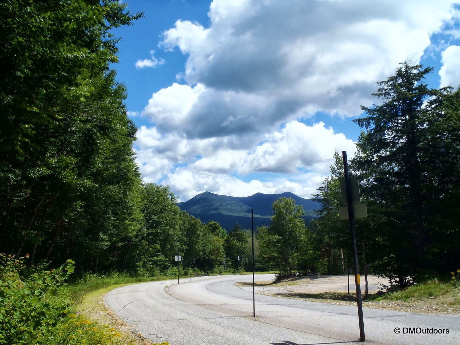
Just like most other crazy day hikes, it started with a four and a half hour ride through NH and VT on Friday night to get to the Roostercomb Trailhead in Keene Valley, NY. Here, I rendezvoused with Jeff, and we clocked in several hours of sleep before waking up at day's light on Saturday morning. With everything already packed and ready to go, we quickly spotted my car at the Garden Trailhead and returned to the Roostercomb parking lot where our traverse began.
 |
| Leaving the Rooster Comb trail head behind |
 |
| A picturesque pond at the start of the Roostercomb Trail |
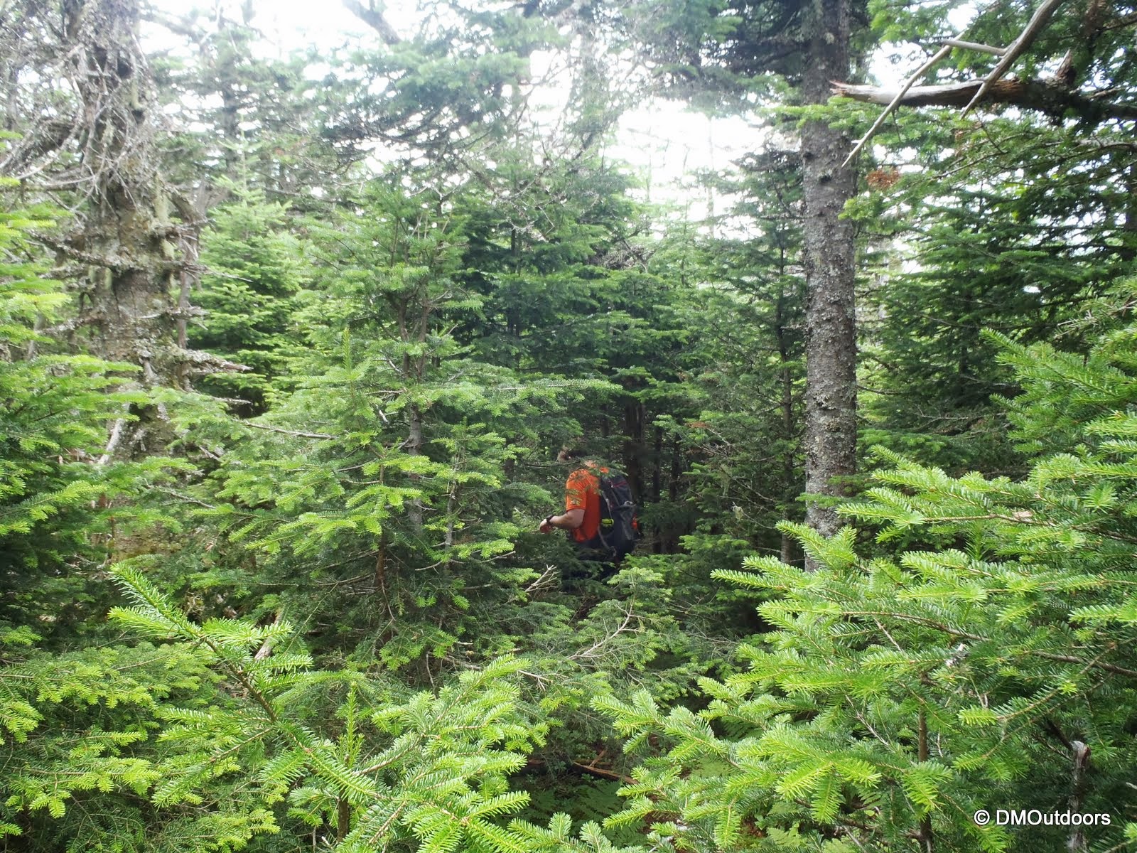
Immediately, I was struck and impressed at how different the terrain was compared to the White Mountains. The woods were just different, noticeably damp all around, with mud, roots and woods spread among the lower elevation. All I could think of was it was going to be a long day!
The first mountain on the traverse, which is not a 4000-footer, was Hedgehog Mountain. The spur trail to its summit rounded the cone of the mountain and ended at a ledge with a fine view into the wilderness, giving us a first look of the land from above.
 |
| Looking north from Hedgehog Mountain |
 |
| YEAH BABY, WELCOME TO THE ADIRONDACKS :) |
 |
| Looking south from Hedgehog Mountain |
After about 5 minutes of enjoying the views, there was still the entire agenda of 4000-footers to tackle, so off we went to the Wolfjaws still 2 miles away and another 1,000 feet up.
 |
| Near Lower Wolfjaw summit |
 |
| Reminds me of the sharp turn on Lions Head :) |
 |
| 4000 Foot Elevation sign in the Adirondacks |
 |
| The view from Upper Wolfjaw summit |
Though the Wolfjaws lacked slightly in excitement, it was a nice warm-up for what was still to come on this ridiculous up and down adventure.
 |
| We continued up.... |
 |
| ....and down |
 |
| ....and a little more up and up |
The next 4000 footer was Armstrong Mountain, where I finally felt like I was on a 4000 footer, and had some really impressive views. What was impressive was looking at the ridge ahead. The clouds were still low and filled with moisture, but the breeze made that feel really cool on the skin. At the beginning of the hike, the clouds were pretty interesting and we were keeping a close eye for the need to get out the rain gear.
 |
| Gothics & Saddleback from Armstrong Summit |
 |
| Armstrong Mountain - my 3rd ADK 4000-footer. |
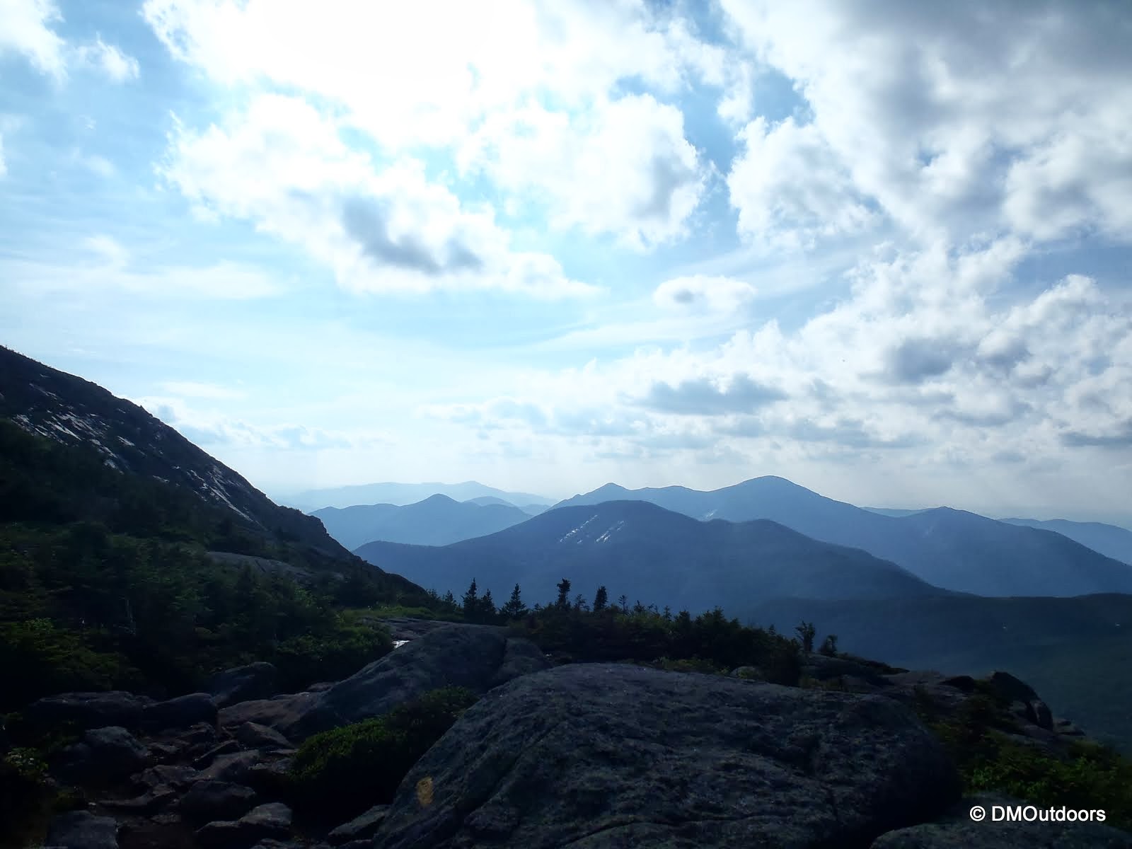
The views from Armstrong were great and it provided a great sense of remoteness as we looked out. There was another down and up and into the Alpine Zone for the Gothics summit, which provided a very similar view and feel to that of the last peak, Armstrong. Still, thick clouds seemed to be lingering, but from the Gothics multiple incredible rock slides were still visible and appealing.
 |
| Entering the Alpine Zone on Gothics |
 |
| Gothics summit marker |
 |
| Gothics summit |
After Gothics summit, there is a rubber cable aid to help hikers up or down the side of the mountain. Standing at the top, its quite impressive, and the descent would be chancy without such assistance. We began the descent and it went relatively smoothly until about 1/2 of the way down the section. It is not one long cable, but two. With the cable feeling secure, I continued, but just a little further down the first one, with all my weight on the cable at one point, I fell completely backward into a patch of scrub to the side directly on my back, and for that one milli-second before my back landed, I thought I was in for a disaster. I got up and quickly realized that the cable ended two loop holes ahead, and the slack was coming completely out of the last two loopholes. Good thing I held onto the cable, which swing me a little. I was pretty surprised at this, but we laughed it off and continued the rappel without issue.
 |
| Jeff nears the end of the cable descending Gothics |
It's really hard to digest what you're putting your body through until you're standing in between one these multiple cols, and you're looking back thinking holy shit I can't believe I just came down that and up this. After we had passed this part of the adventure and were on our way up to Saddleback, the skies had cleared and we were in the midst of a beautiful summer day in the Adirondacks.
 |
| Looking back at the trail descending Gothics |
 |
| The view ascending Saddleback from Gothics |
After the Gothics, the views were getting better, and the difficulty was increasing. After the harsh descent and subsequent climb up Saddleback, we arrived at its summit to a great view of the Basin and the remaining peaks ahead. We took a break at the summits of the last several peaks. The Range Trail descends Saddleback by way of a steep rock face which was the most risky section of this entire hike. Jeff and I waited well over 10 minutes for the group in front of us to safely descend the section. It was causing difficulty to one in their group. Once it was clear to go down, we did so. You can see this section below.
 |
| Saddleback summit photo, with Basin next in the background |
 |
| A beautiful view of the trail leaving the summit |
 |
| Jeff navigates the rock face that has no climbing aids |
 |
| Looking at the Basin from the top of the face as we waited... |
 |
| Holy bananas, that looks like a lotta fun doesn't it? |
The next summit, Basin Mountain, provided our first full-on view of New York's highest peak, Mt. Marcy and also Haystack, the final two peaks on our journey before a long 9-mile haul back to the trail head. It was getting to be afternoon, but we were always moving quickly despite our slowly diminishing energy which we kept up entirely by continuing to eat and drink water. There really is no other choice in a monster hike like this.
 |
| Mt. Marcy from the Basin summit |
 |
| Basin summit marker in the Adirondacks |
 |
| Steep wet trail descending the Basin toward Haystack |
Now just two more peaks remained on this 8 peak adventure, but after close to 20 miles of constant elevation change, the thought of two out-and-backs over a mile long is just one of those mental things that makes this endurance hike (and others) such a challenge. We continued on and when we got to Little Haystack, I was mighty impressed at the views I was witnessing, and it was the motivation we needed to keep pushing on. The views from Haystack Mountain were the most impressive of the entire hike. I cant describe how enjoyable it was for the 20 or so minutes we sat on this summit. It was a great day.
 |
| A little ways to go to bag Haystack, and then a little more out to Marcy |
 |
| From Little Haystack, Haystack lies 1/2mi. ahead after a short but steep col. |
 |
| Approaching the summit of Haystack Mountain |
 |
| View from Haystack Summit |
 |
| One of the best views, and favorite peaks of this summer |
 |
| Enjoying Haystack summit with sheer cliffs of Mt. Marcy behind |
Looking at the picture directly above, even from here, and after the distance we've traveled it looked like an eternity to get to Marcy, but on we went. The slow gradual ascent that you see in the picture was pretty grueling. There was definitely a few groans let out, but a successful completion was our only option. As we neared, there was a short boardwalk section, and then after that we dropped our packs before heading up the final few hundred feet to the summit.
 |
| A boardwalk in the alpine zone on Mt. Marcy |
 |
| Looking at some other high peaks off to the right of Marcy |
 |
| Jeff hikes over an outcropping of rock before the summit |
 |
| Jeff on the summit of Mt. Marcy |
 |
| Me hanging on to my hat from the highest point in NY, Mt. Marcy |
 |
| Mt. Marcy clearly rises above all the rest - what an impressive range of peaks |
With Marcy out of the way, there was no question what lied ahead, and that was a mind boggling descent of about 9 miles all of the way back to Keene Valley and the Garden Trailhead, where we had spotted my car. The descent is very gradual once down from Marcy, and on such a long hike this might have been even more annoying and tiring than the worst time ever on Lincoln Woods after my first extended Pemi Loop. All I could think of was that we successfully did the Great Range Traverse, and that we would make it. Despite the physical drain I describe, in the 20th miles we were moving at least 3mph. Eventually, we made it to the Johns Brook Lodge (operated by the Adirondack Mountain Club), which is 3.5 miles away from the end. This was the very last time we refilled our water and took a lengthy break for food as we shared our days adventure with some out-of-state backpackers doing a lengthy trip of their own. With about 30 minutes before darkness, we were off again. Between here and the end of the hike, we saw a total of 4 deer, which was pretty cool! After 17 hours 29.4 miles, and 9,500 elevation gain, we arrived at the Garden Trailhead feeling extremely satisfied at completing one of the most challenging day hikes in the USA.
 |
| This deer was very much closer than it appears in this blurry picture |
 |
| Noises heard in the woods turned out to be several deer, not bears |
 |
| Arriving at the end, the Garden Trailhead which was jammed on a Sat. night |
The Great Range Traverse was an incredible hike. Even though the trail conditions weren't as bad I've read and seen photos of, but it was still significantly wet and muddy trail for such a warm day. That there is a little different than hiking in the White Mountains, and the woods, I thought, were pretty sweet. This is just the place I want to return to watch some wildlife, no wonder there are so many campsites on the map. It's a pretty different wilderness out there. For 4000 footers, the first few won't stick with me like the any of the 48, but I'm happy to have bagged them all as part of an awesome Great Range Traverse. Another challenging hike in the books, and another fun and long hike with my buddy Jeff. On to the next great adventure!
Hike Stats
Trails: Rooster Comb Trail, Rooster Comb Spur, Adirondack Range Trail, State Range Trail, Haystack Trail
Distance: 24.9 miles
Elevation Gain: 9,500 ft.
Actual Book Time: 17:10