Two weeks ago, when my brother and I set out for an overnight hike in the Presidential Range-Dry River Wilderness, I thought to myself "this should be interesting", and sure enough it was interesting! Our original plan was to hit Jefferson, Clay, Washington, then head towards Isolation to hammock-camp, and head out to Crawford Notch on Sunday, with a choice of hitting another peak or two. Because the forecast and current rain below 4000 feet, we had to change our plan from Caps Ridge Trail to Jewell Trail, so off to Marshfield Station we went. A hiker on his way out needed a jump to his car, and it was then when I mentioned our route, he reminded me of the closed west branch of the Isolation Trail. Darn it! How the bleep did I not know/remember this trail was closed (and also the Dry River Trail)? I guess I was just so in tune about camping somewhere remote! So we headed up the Jewell Trail, with the idea that we're just going to have to go with the flow today and see where we end up. A little different than some recent hikes, pack weight for us wear around 35lbs since we were planning for overnight.
 |
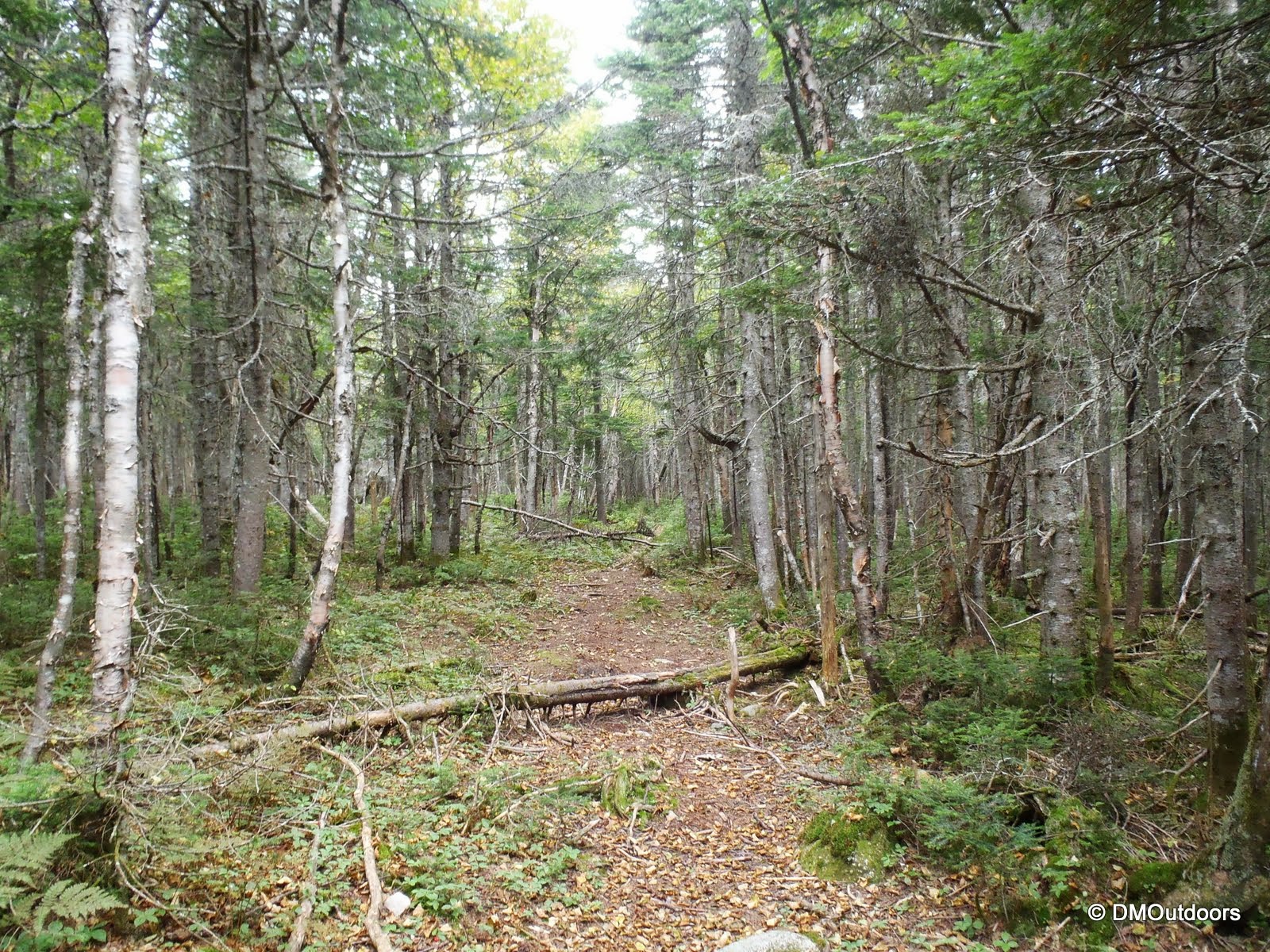
| Start of the Jewell Trail right at the start of the Cog tracks |
 |
| Jewell Trail |
We took it slow and steady up the ascent of about 2,900 feet on the Jewell Trail to the Gulfside Trail, where it meets in the alpine zone. The conditions reminded me a bit of my recent Presidential Traverse, foggy, misty, and hard to see very far in front of you. One thing that was pre-planned was this: If we had to give up Caps Ridge, we'd make a direct ascent of Mt. Clay using the Jewell Trail, and then a rock-whack to the height of the ridge and to the summit. At the junction we climbed directly up from there, making it to the cairns on the Clay Loop. We had to go about .2 miles north to hit the summit, but we essentially completed a "direct" ascent of Mt. Clay, which is a 5,531' mountain. This unique ascent of Clay counted as a Trailwright 72 peak for both me and my brother.
 |
| Jewell Trail and Gulfside Trail junction |
 |
| Bill climbs Mt. Clay in the fog and mist |
 |
| Ascending Mt. Clay |
 |
| The summit of Mt. Clay a short distance ahead |
It was really gusty on Clay with a pretty hard mist making us move as quickly as possible to get to the summit, take our picture, and on our way towards Mt. Washington. The rocks were getting slippery too. As we ascended, the clouds seemed to lift and lower and repeat, and essentially the very top of Mt. Washington was going in and out of the top of the clouds. This occurrence resulted in "fogbows", occasional spots of blue sky, and then a small view of a distant under-cast of puffy white clouds. I've seen some cool weather formations on Mt. Washington's summit, and these sights were another to add to my list.
 |
| Gulfside Trail (1.1 miles and 900 feet to Mt. Washington) |
 |
| Bill hikes across the alpine zone on Mt. Washington |
 |
| Gulfside Trail to Mt. Washington |
 |
| Fogbow over the Great Gulf |
 |
| Great Gulf Wilderness on the Gulfside Trail |
Halfway up this next section we came to the cog railway tracks. Two cogs came up right after one another as we walked by - pretty cool. We could only see them when they got much closer. We opted to hike alongside the tracks the rest of the way to the summit. In doing so, we passed two memorials on our way, including Lizzie Bourne's. Lizzie Bourne perished in that spot on September 14, 1855. (Note: during the hike, it did not dawn on us it was the exact date) This day (September 14th) was the 158th Anniversary of Lizzie's passing. We had talked about what it might have been like in 1855 in this spot. Afterwards, as I look at the photo, the description on the sign sort of describes the current conditions we were in. All in all, it was humbling to pass by and ponder, and then later as I looked at the photos, I realized the date was the anniversary - Now that is kind of chilling!
 |
| Lizzie Bourne Memorial (Photo taken on Sept. 14, 2013, 158 years after her passing) |
 |
| McAdams and Chadwick Memorial not too far up the slope |
 |
| An MWO employee walks alongside the ascending Cog |
 |
| The Cog Railway car on its way to Mt. Washington's summit |
As we approached the summit, we had some brief, but breathtaking views. Throughout most of the day, those who stood at about 6,288' feet were the only ones who saw some blue sky this day. It was a chilly 40 degrees and 30 degree wind chill (add being wet) as we headed towards the summit sign for my 15th summit of Mt. Washington.
 |
| Hiking with a fogbow in the background |
 |
| Bill takes in a pretty amazing view from Mt. Washington |
 |
| Walking toward the summit |
Someone got it right and must have organized a line for the summit sign. Patiently, we waited about 5 minutes for our photo. This was kind of a bummer and annoyance, but it is what it is! We went inside where we leisurely took in a nice hour and a half break for chili, pizza, hot chocolate, and a brownie! It was nice to do a re-set and get ready for some more wet hiking.
 |
| 15th Mt. Washington summit |
 |
| The summit photo line |
Since our plans were now changing again, the wet conditions steering us away from dealing with a wet nasty camp out, we decided that we were going to bag Monroe and hike to Eisenhower and then descend Edmands Path and walk Mt. Clinton Road back to my car. We descended to Lake of the Clouds and the hut, and paid a short visit inside. The caretaker was friendly, asked us our route, and what time we started. She replied, "hmmm a little behind schedule...", and she seemed concerned of our plan to go towards Eisenhower but didn't say much. Two minutes later, we left, and as we hiked on toward Monroe, I kidded to my brother, "Since when does a mountain have a schedule?"
 |
| Lake of the Clouds - always majestic |
The half mile and few hundred feet to Monroe become easier and shorter every time I do it, but for Bill, this was his 2nd time to Monroe, and the first time back since our Moonlight Presidential Traverse on August 14, 2011 (and my 48 finish). It was pretty breezy up on the summit, like it always is. Without much of a view, we continued on.
 |
| Bill takes a big step on Mt. Monroe's summit |
 |
| Mt. Monroe - 8th summit |
We took the gentle hill that loops over the summit of Mt. Franklin as we continued towards Mt. Eisenhower. I didn't hit Franklin on my last two presi's, so I decided to bag it on this unique hike.
 |
| Bill and I hike the Crawford Path near Mt. Franklin |
 |
| Mt. Franklin summit |
Along the next flat section, we flip-flopped with another group doing an apparent Presidential Traverse, and who you could say were much further "behind schedule". At the sometimes confusing junction near the Edmands Path, I guided them towards Pierce on the Crawford Path, as they were going to skip Eisenhower to make up some time. Here, in true-peak bagger fashion, I encouraged my brother to take cover in a patch of scrub while I went up to summit Mt. Eisenhower. Thanks Bill! I told him it would take no longer than 20 minutes to do the .8 and a few hundred feet ascent and back. I dropped my pack with him, took my cell phone, and darted up to Mt. Eisenhower's summit. Now later in the afternoon, the Eisenhower summit was empty. The hard mist and strong wind made it feel like I was getting pummeled with rain. After running up at full speed and taking a couple of pictures, I kneeled next to the cairn for a minute to recuperate before I bolted down back to the scrub. Almost back there, I let out a yelp through the darkening sky, and I'm sure my brother was stoked to have me back in 12 minutes flat!
 |
| Mt. Eisenhower summit |
When I got back, we quickly headed down the Edmands Path. The Edmands Path was a first for my brother. We still had daylight for about half of the descent. We took our time, switched back to shorts, removed the rain gear, and had a rather pleasant walk down the Edmands Path and back to the spotted car at the Mt. Clinton Road Trailhead. While this wasn't the Dry River Wilderness overnight we had planned, it was still a successful and fulfilling hike having climbed Mt. Clay directly for a Trailwright, hiked a couple of new redline trails, and hit some peaks for my September grid, including my 15th summit of Washington. It was also the first time my brother has hiked above treeline in the Presidential Range during the daylight! I'm looking forward to this coming March and April, as they are the only two months I have not climbed Mt. Washington. Another great Presidential Range experience in the books, and looking forward to more!
Hike Stats
Trails: Jewell Trail, bushwhack, Clay Loop, Gulfside Trail, Crawford Path, Monroe Loop, Eisenhower Loop, Edmands Path, Mt. Clinton Road
Distance: 15.7 miles
Elevation Gain: 4,700 ft.
Actual Book Time: 10:30 (*trail-head to trail-head, including 1:30 break at the summit) (does not include road walk of about 1:00)