Ahhh.....To me, hiking Maine's 4000-footers offers that little bit of variety that is needed sometimes from the White Mountains. When it was finally time for buddy Mike to take on the
wild Sugarloaf, Spaulding, & Abraham, I was ready to go. When I hiked it last October, my brother and I had great time, being scared to hell by a bear at our car at midnight and then seeing a moose the next day during our bushwhack. With this September hike a few weeks ago, I had wondered what we might get this time around!
 |
| About a half mile up the road to the AT crossing |
I now consider myself a fairly frequent visitor to the Caribou Pond Road trail head, and the previous 4 times I've been there, the road has been in great shape up to the barricades. This time, upon our arrival in my car, which is a sedan, it was a bit different. Softball size and larger rocks seemed to be all over the road. Lo' and behold, after a mile of dodging them, we see the culprit - a pick-up truck with a road grader in tow. It took about 40 minutes for us to get down the road, and only once a rock scraped the bottom of the car, but it was pretty dicey not having an SUV this time, but it was obviously just luck of the draw that they were grading the road that day. As we were about to hit the road towards the AT crossing, we saw a sign drawing attention to the search for a missing hiker, and how to report any information.
 |
| The AT leading down to the river from the road |
 |
| Mike crosses the Carrabassett and breaks the bridge in the process |
We started our ascent up the steep section of the AT towards Sugarloaf. This part of the trail is really nice. As we climbed, we took in nice views of the valley, the Carrabassett River below, and across to the Crockers & Redington. As we hiked up over one of the ledges, we caught glimpse of a low-flying helicopter coming through the valley.
 |
| Steep section on the AT southbound |
 |
| Mike climbs alongside the steep ravine off the back of Sugarloaf |
 |
| Quite a steep ravine - not a place to fall into! |
 |
| A helicopter flies low over Carrabasset Valley |
Feelin' good, we made it to the Sugarloaf spur trail, which continues up a nice grade to the summit. Despite the abundance of rather unsightly summit buildings, breaking out onto Sugarloaf's summit offers incredibly expansive views all around. In my two times here there has been a stiff wind, but undeniably the cool weather and endless views on this day gave us a big boost of morale, as Bear Gryll's might say. We still had a tough hike ahead.
 |
| Sugarloaf Spur Trail |
 |
| 2nd time to Sugarloaf summit |
 |
| View south from Sugarloaf summit |
 |
| View north-ish from Sugarloaf summit |
 |
| Where's Mike? |
After enjoying the summit for a few minutes, we headed back onto the spur trail, and back down to the AT. The trail between here and Spaulding is relatively flat until you approach Spaulding, but there are so many roots and stuff on the flat sections, its easier said than done. We were moving quickly, but along this stretch we took a solid break since I was trying to be reached for an emergency call and had to stop. We used this time so I could resolve the issue and have some pepperoni and cheese and trail snacks. Then we were on our way. After a few minutes of hiking along this incredibly beautiful stretch of trail, we heard a noise off into the woods or somewhere ahead. It sounded like a ghost making a woooooo sound, but it sounded natural. Immediately we stopped, and in seconds we saw some shadows coming around the bend, we got pretty spooked, stopped short and braced ourselves for whatever would be coming down the trail. Hilariously though, it was a couple of thru-hikers enjoying their hike making some funny noises.
 |
| Appalachian Trail between Sugarloaf and Spaulding |
 |
| Mike hikes towards his 64th New England 4000-footer |
 |
| 150 Yards to Spaulding summit |
 |
| Spaulding Mountain summit |
 |
| Who says there is no view to enjoy from Spaulding Mountain? |
Now with two of three 4000 footers done on the day, we still had quite a ways to go, but since we've been hiking often we were still going with some good energy and a good pace. Since Mike's outdoor blog is called the Outhouse, we took an obligatory Outhouse photo at the Spaulding Mountain Lean-to.
 |
| Appalachian Trail near Spaulding Mt. lean-to |
On this particular hike and chosen route to get all 3 peaks, leaving the AT for Mt. Abraham is where one is pretty much committed to about 6-7 more miles before completing the hike. And that is if you plan to bushwhack to the road after getting back to this junction. Otherwise, its longer if one re-traces their steps back on the AT to the crossing of the river. This is what makes these 3 peaks together a tough day. Off we went to Abraham.
 |
| Mt. Abraham Trail |
The Abraham Trail, as it leaves the AT, is a really beautiful section of trail. We saw 3 living creatures within minutes of leaving the AT; a frog, a fuzzy caterpillar, and a spruce grouse! (check out the album for those pics) Not to mention the woods and scenery are quite awesome through this stretch. It got even better as we started to cross the scree on the ridgeline to Abraham. The afternoon views were great, and it was nice and cool. Mike in the lead to his 65th New England peak.
 |
| Mike climbs toward #65 |
 |
| and tries to get to get to the highest point as possible... (we did) |
 |
| Mt. Abraham for the second time. Awesome Maine peak! |
Mt. Abraham's summit, although on the short end near 4000', is one of the best 4Ks in Maine, and was just as spectacular as my first time to its summit. It's amazing the difference in views between September and October. We could just see the start of the yellowing, when last year's October hike it was in full bloom. While there were some clouds in the sky, the views and setting were perfect, and on top of that, at this time of the afternoon, we had all of Mt. Abraham to ourselves.
 |
| Abraham summit views |
 |
| Mt. Abraham summit |
 |
| The tower on Mt. Abraham |
After a nice break of about 30 minutes on the summit, we headed back to the junction at a consistent pace and took another break to get situated for our bushwhack to the CVR. Last October, my brother and I successfully did this bushwhack, and I was looking forward to this again for weeks prior! I took the back end though, and let Mike lead us off into the woods on the obvious herd path at the junction.
 |
| The start of the bushwhack from the AT to CVR |
We followed the herd path straight, passing the AT boundary marker. This time, we stayed straight on the herd path a little longer than we did last time. The first time, my brother and I didn't pay too too much attention to the compass and focused on staying straight all of the way. This time, and for the entire way, we stayed on an exact north bearing.
 |
| Mike navigates the easy bushwhack |
This brought us to the same dead-wood clear-cut area as last year, except about 100 yards further south than when my brother and I entered it last year. Now extremely familiar to me, we crossed the clear-cut right through the middle. Here, we had awesome views of the surrounding valley with an unique sky, and from a spot in the middle of nowhere. This is what its all about. This was the spot of my first ever in-hike moose sighting too! We paused here and took in Maine's awesomeness.
 |
| Straight across the clear cut, same one I passed through the first time |
 |
| Great views from the middle of nowhere |
 |
| Beautiful view in Carabassett Valley |
On the other side of the clear-cut, we found several herd paths leaving it. We picked one, and continued to follow north shown on our compass. After the clear-cut, there is a zig-zag of herd paths and grown in roads (certainly not a place to be in after dark by any means). If you've been thinking about doing this bushwhack, do it! After doing this for a second time, just lock your compass on north and have at it by zigging and zagging your way down to the road! It took Mike and I just a touch under 30 minutes to go from the AT to the road. Minutes later, we were passing the Caribou Pond outlet, and just a few miles down the familiar CVR back to the parking area, where a couple of hard ciders awaited! Congrats to Mike on getting #65. It was an awesome early fall day, and we did it in timely fashion, getting home to MA at a fairly reasonable hour.
 |
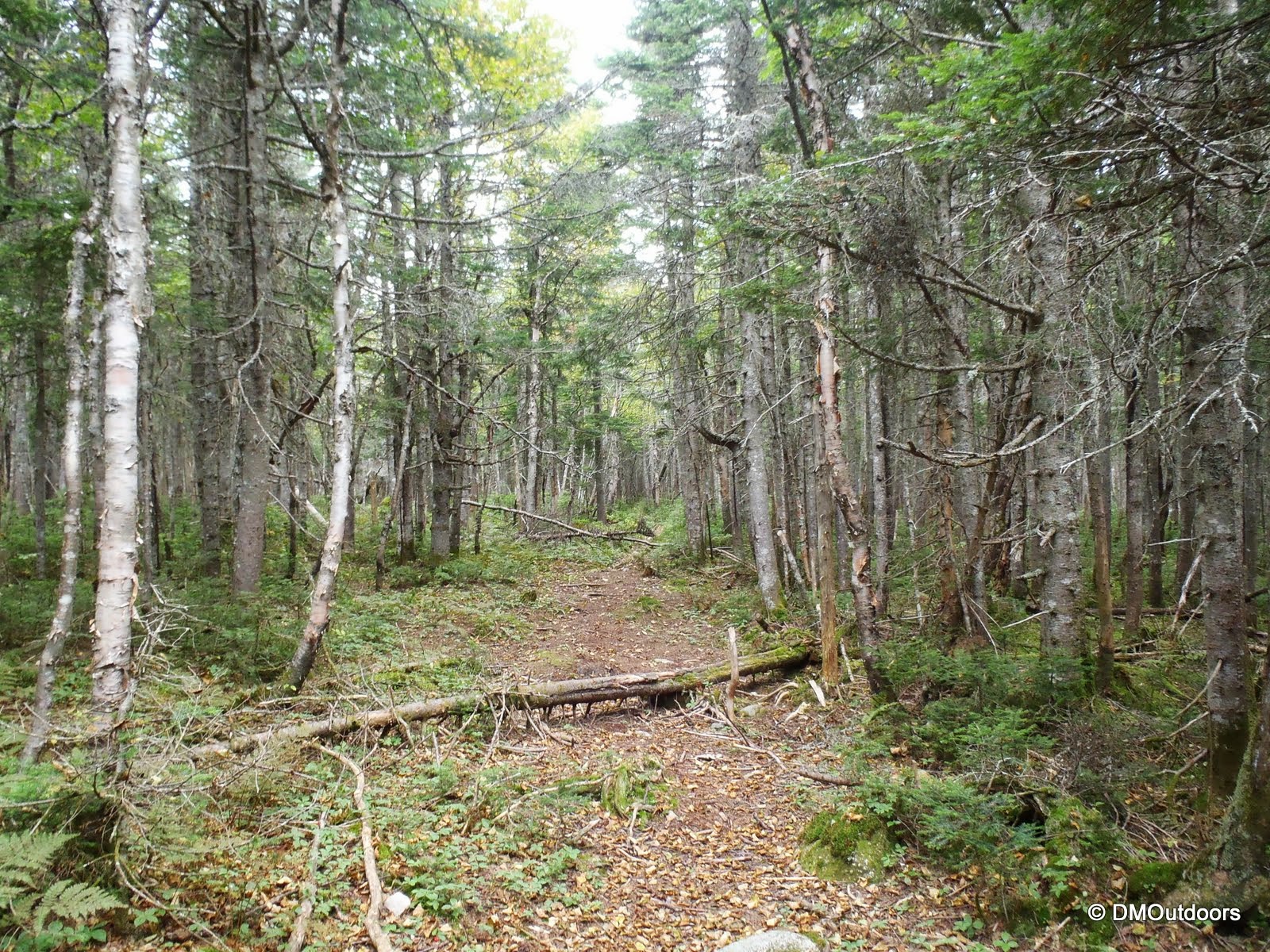
| Walking back to the parking lot on CVR |
Hike Stats
Trails: Appalachian Trail, Sugarloaf Spur Trail, Spaulding Mtn. Spur, Mt. Abraham Trail, Bushwhack
Distance: 17.2 miles
Elevation Gain: 4,280 ft.
Actual Book Time: 9:00 (approximately)


No comments:
Post a Comment