On Sunday, August 4th, my buddy Mike was continuing his NE 4000 footer journey, and I was lucky enough to be heading back to Carrabassett Valley to hike the Crockers & Redington with him. Last time I was here was last October, and everything was covered in wet snow. Although not far off from snow in Maine, it was a beautiful summer morning with a little bit of that autumn coolness in the air as geared up at the parking lot at the metal bridge on Caribou Pond Road (also called Caribou Valley Road).
This was the same Sunday of an intensified search for the missing Appalachian Trail hiker in Maine. We started up the road towards the AT crossing after a couple of searchers on horseback passed by. Without the snow, quickly the ruggedness of this section of ascent on the AT to South Crocker made itself known. As we passed the open slide area, the views were great, and we powered right on up to the summit. This may not be the case unless you've been hiking a lot like Mike trying to get this done. He was ahead of me most of the way, as I was a little tired from the day before. (The header photo above shows the small pond near the Crocker Cirque campsite, and the great view I was pleased to witness this time around)
 |
| Appalachian Trail to South Crocker at Caribou Pond Road |
 |
| Rugged, rocky trail from crossing to South Crocker summit |
 |
| Gotta love hiking in Maine |
 |
| The Bigelows and Horn from the side of South Crocker |
 |
| South Crocker summit |
After that it was pretty much smooth sailing all of the way to North Crocker and back, but the trail is rocky, and it can be tiring approaching North Crocker. It was nice to have a view from the summit outlook rather than clouds and falling snow. Back we went, getting excited for the bushwhacking!
 |
| North Crocker summit |
 |
| The view from the North Crocker outlook |
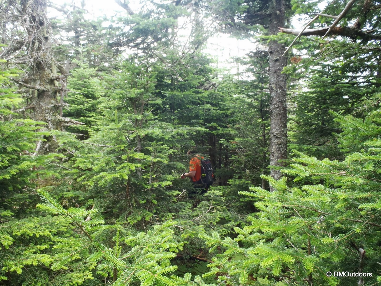
Since I had done the bushwhack to Mt. Redington before, I let Mike take the lead, and off into the trees he went. He did an awesome job using no skills to follow the flags to our next 4000-foot destination. It was still an adventure though. The last time that someone had been to the summit was 8 days before. Last October, it had been a few weeks between the prior summit, so as summer ends, you can see how seldom this peak is climbed.
 |
| Mike begins the Redington bushwhack |
 |
| In addition to this little guy we came across one small spruce grouse |
 |
| The view from a clearing along the bushwhack |
 |
| Looking back at N. Crocker and the back slope of S. Crocker |
 |
| North Crocker with a patch of some mountain berries |
 |
| The logging road which the bushwhack follows to the height of land |
 |
| Turn right at the cairn and continue the whacking |
 |
| Mike and I on Redington summit - my names in here 2 times in a year! |
Just as we were finishing up writing our names in the summit register, the cloud pictured below let out some of the closest and loudest cracks of thunder I've heard in a long while. We waited for lightning to appear after one of them, but thankfully it wasn't happening. We quickly closed up the bag, and sort of nervously started to get ready to scramble fast should the need arise. As we walked back out into the clearing next to the summit canister, that dark gray sky opened up in a heavy downpour, and on went our rain jackets.
Our plan from the beginning was that we were going to take a shot at leaving the bushwhack and taking the route along the logging roads that leads to the outlet at Caribou Pond, which is further down Caribou Pond Road. Somewhere in the next 10 minutes or so after leaving the summit as we scrambled to pick up the pace, we ended up on a straight line path that couldn't have been the AT boundary, and then it also widened to a road, and then eventually came to an intersection. At one of the logging road intersections that followed, I felt I knew where we were, but there was a road that we should have taken that didn't appear to be on the map and we didn't see anything physically. We ended up realizing that we were heading around the pond. This was not a big deal because at that point we knew it would be just a little further until we rounded Caribou Pond and made it to Caribou Pond Road.
Before we even arrived at the pond on the descent, we took note that the logging roads we were on (which in places had vegetation grown back in taller than us) were recently traveled by ATV. It had rained until about 20 minutes before we made it near Caribou Pond. After that, it started to get warm again, and the blue skies started to return. The approximately 4 mile road walk back to the parking lot was pretty nice. While it was a little longer than expected at the end, we still nailed it pretty good in 7 hours flat, and Mike had completed up to #61 on his New England 4000-footer list. I'm looking forward to the possibility of joining Mike in September as he goes for the finale with Sugarloaf, Spaulding, Abraham, Hamlin, and North Brother remaining. Another great day in the mountains!
 |
| A road somewhere on the slope of Redington in the pouring rain - FUN! |
 |
| An intersection somewhere on Redington! |
 |
| A man-made signal on a logging road above Caribou Pond |
 |
| Near Caribou Pond, but not on Caribou Pond Road, we crossed this bridge |
 |
| Caribou Pond Road |
Hike Stats
Trails: Appalachian Trail, bushwhack
Distance: approximately 13 miles
Elevation Gain: 3,518 ft.
Actual Book Time: 7hrs


No comments:
Post a Comment