It was another beautiful Wednesday night in the mountains. This week's adventure would take my brother, friend Alton, and I around the classic Tripyramids Loop, up the North Slide, over the Tripyramids, and down the South Slide. We were treated to great trail conditions and comfortable temperatures for this nice evening jaunt into the Sandwich Range Wilderness.
 |
| Beautiful afternoon in the Sandwich Range Wilderness |
 |
| Only ice left at the beginning of the slide |
We just missed the sun going down behind the peaks, but the sunset we did have provided enough of an epic scene for what is always a fun climb up the North Slide. Here's a sampling of photos from the sunset ascent. Be sure to check out the full album to see much more (link below).
 |
| Carrigain & Vose Spur in the pink glow above the shadowy horizon on the right. |
 |
| Looking to the left in the photo above, here is a close up of the summit of Tecumseh. |
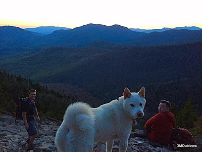 |
| Bill, super-pup Cole, and I stop for a breather on the North Slide. |
 |
| Taking it all in.... |
 |
| Sunset behind the Osceola's |
 |
| North Tripyramid Summit |
 |
| Middle Tripyramid Summit |
 |
| Cole looks out and over the South Slide. It was beautiful here, and very silent. |
 |
| Descending the South Slide |
Highlights:
Tripyramids - 10th Round
North Tripyramid - 600th White Mountain 4,000-footer
My brother's first hike in the White Mountain since last summer.
Sunset from North Slide. I have now seen sunset and sunrise from the North Slide
Trail Conditions:
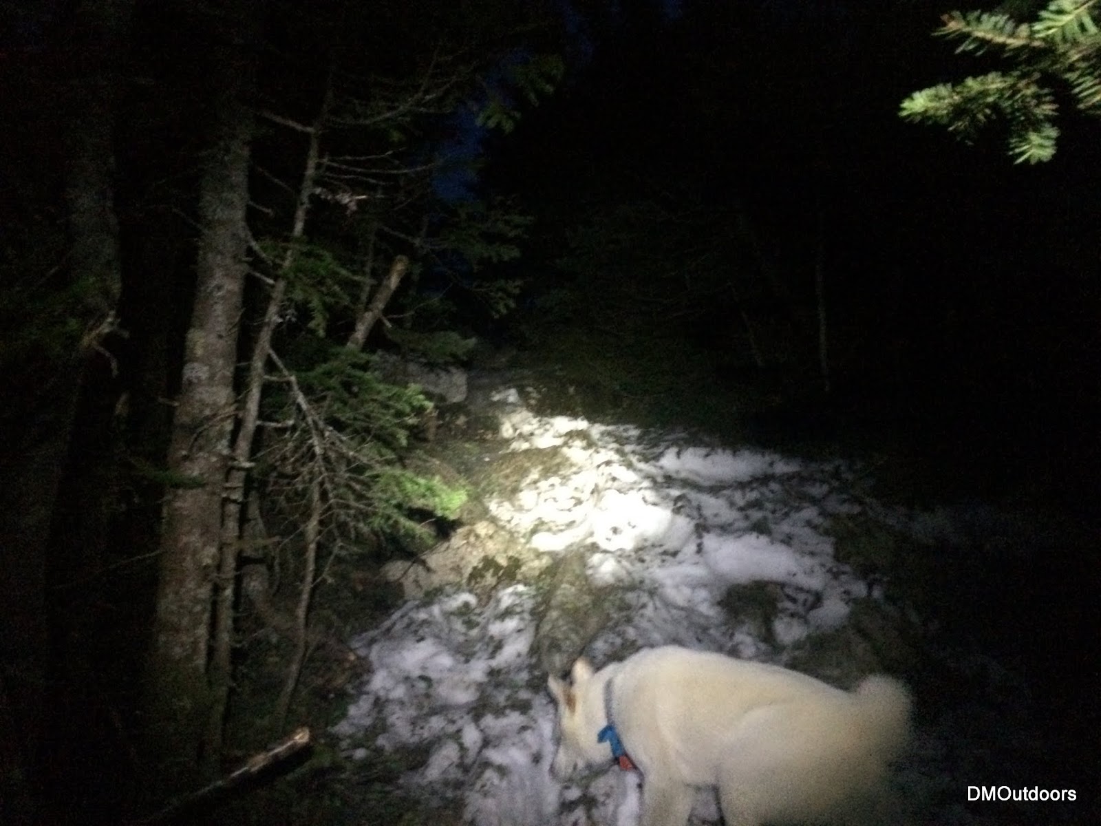
The route is bare all of the way (including the North Slide) to the woods at the top of the slide. Once at the junction near the summit, a thin monorail exists, which was mostly avoidable or had hardened foot-steps. There was almost no ice, and we never needed micro-spikes. Right from the summit of South, and all the South Slide was also bare. Finally happy to put the snowshoes and micro spikes away for good away after this week.
 |
| Livermore Road |
 |
| A bare North Slide |
 |
| Monorail at 4,000 ft. |
Hike Stats
Trails: Livermore Road, Mt. Tripyramid Trail
Distance: 10.5 miles
Elevation Gain: 3,3238 ft.


Sunset behind the Osceola's pic is awesome, it should be on a calendar or something!
ReplyDeleteThanks and thank you for the compliment!
Delete