I am not sure it has quite sunk yet in that I completed a winter Presidential Traverse last weekend. This traverse is probably the most risky of any hike that can be done in the White Mountains, especially in winter, and certainly the most chancy solo hike I've ever done, but thankfully, nearly everything went right this President's Day, and I was able to add this incredible experience to my list of many so far.
Thanks to my father for waking up at 3am to help me spot my car at Crawford Notch. There were a few cars in the lot at Appalachia, but none that were there starting a hike. It was 5:50am when I set my foot on the trail. I started up the trail with my headlamp, but didn't need it long, as the sun was coming up just minutes later. The hike up the Valley Way Trail was pretty quiet and pleasant. It allowed me to think about what lies ahead.
Treeline on the Valley Way Trail
I reached the hut, it was so beautiful. The sun was shining so brightly and everything seemed to be just so crisp and clear. I dropped my pack and with my ice axe in hand, I followed the cairns up to the summit of Mt. Madison. Madison is my 3rd favorite Presidential behind Washington and Monroe. To me, its dramatic, and has one of the best all-around views of the Presidentials.
Madison Hut
Mt. Washington, Clay, and Adams from Madison
I quickly scooted down to retrieve my pack. I saw some remnants of a track heading towards the Star Lake Trail, so I though it wouldn't be too much more difficult to make the approach from that side. I knew I wouldn't have to follow the trail strictly, so I wasn't worried about the extra distance. As I started around the base of the cone, the wind picked up, and it was ripping around the side of the mountain. It would have been tough either side. I was getting battered by the pellet-like snow, and immediately I was into my first challenge on this trek. As I approached, the snow pack started to increase in angle, requiring me to use crampon technique with my foot placement, by kicking in my toe and checking it. The snow was pretty soft near the top. Even though I approached from the south side, the wind was still coming around and getting me, but with slow and steady in mind on this important stretch, I climbed onto and over the summit of Adams.
Blowing snow from near Mt. Adams
Jefferson Ravine coming from Adams
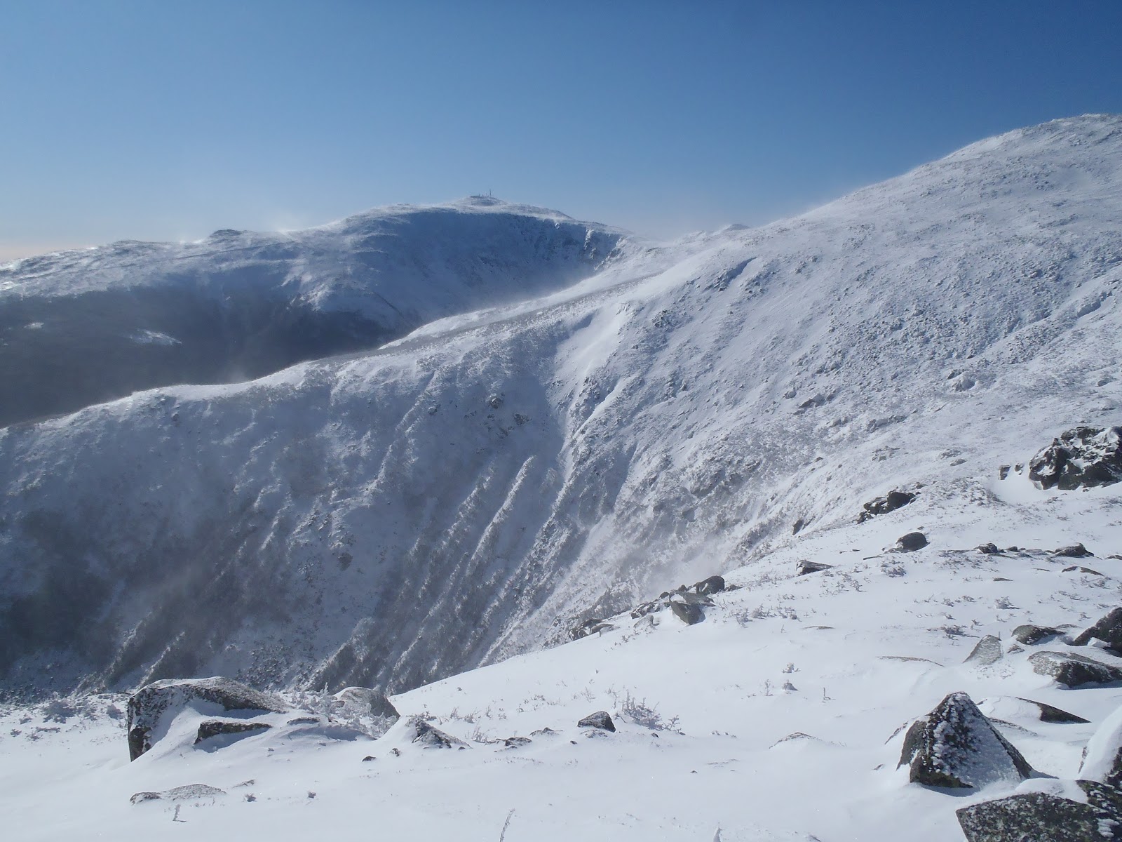
Already on great pace past Adams, I set off in a straight shot towards Mt. Jefferson. Along the way, I caught a great shot of the wind blown snow over the peaks (above). As you can see it was so beautifully clear, but to see the snow whipped up like a blizzard all around you was something out of this world. On the approach to Mt. Jefferson until after Mt. Clay was the most spectacular part of this hike. The wind died down just slightly, but not completely, and the sun over Mt. Clay was incredible. Before I got there though, I stood on Mt. Jefferson, which was the last presidential I needed for my second round of the 48, and it was my 40th Trailwright peak. I am still drooling over the view of Mt. Washington I had from Mt. Jefferson.
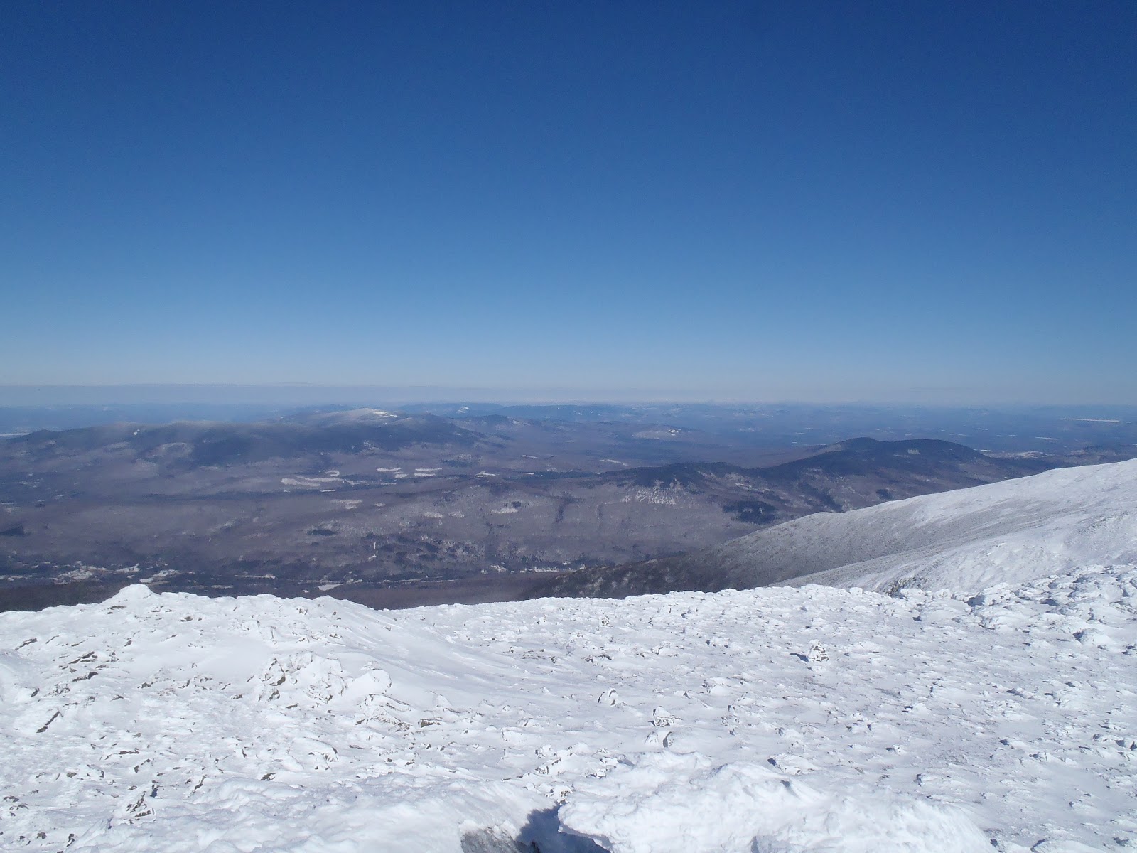
View from Mt. Jefferson
The most beautiful view of Mt. Washington ever (maybe)
As I moved towards Clay, it felt like I was on a different planet. It felt as if I was walking towards the sky on this beautiful sheet of glazed white ice. I look ahead and see the sun shining brightly among a light blue sky, and behind me was a deeper blue with incredible lenticular clouds. As I neared the summit, I stopped for a moment and stared at the sky. I noticed how quickly the clouds were moving across the sky, and over the mountains. I stood and captured it with on video with my camera. All of this excitement had me thrilled to reach Mt. Clay.
Ascending Mt. Clay
Me on Mt. Clay with Mt. Washington in the background
As I walked towards Washington over the Great Gulf, the wind was treacherous coming up over it from the valley. The gusts were knocking me 3-4 steps off stride every time, but without any problems, I neared the summit of Washington. Everything was so perfectly white. Here I was again, approaching that summit sign for the 8th time and 5th month in a row. There's nothing quite like standing on the top all by your self, except it wasn't easy to stand without holding the sign.
From here to there were heavy gusts over the gulf
Mt. Washington summit in February
I took about break for less than 10 minutes out of the wind by the building doors. I added a layer, ate some of my nutter butters, and had some of my orange juice I decided to throw in my pack. Next I set off into the wind down the Crawford Path. The wind was feisty now, and it would be just about all of the way past Eisenhower. I reached Lake of the Clouds Hut, and a fellow hiker was there who came up the Ammo Trail. After a quick chat, we headed up Monroe, at times walking at a severe angle for about 2 minutes straight. That was insane. Monroe is always fun for me. The wind was brutal, but it was the only time someone was able to help with a summit photo. It was funny when I told him I had to get going. He said, "You're going that way?!" Yup, off I went down Monroe, it was 2:15pm.
Leaning into the wind on Mt. Monroe
Nothing from Mt. Washington to the end of this hike was easy. It was a constant battle with the wind and wind chill. I made my way towards Mt. Eisenhower, and a break was calling, so I went for the trees just below Eisenhower. I made a quick call to check in, and had another snack. It is amazing how much you notice the food give you energy while hiking, which is why I wanted a break now because Eisenhower's not a walk in the park. However, this all took me past the north junction of the loop, I really didn't see it on my way over to the scrub, but I just went towards the south end of the loop, made a quick shortcut, dropped the pack, and bagged it. I was moving quickly through this because I wanted so bad to just be on the Crawford Path below Pierce.
Looking back from near the south end of Eisenhower loop
Finally, I was on my way to Pierce. Thankfully, the snow in this section wasn't as bad as it could have been. However, there was one drift up to my eyeballs, that I suspected formed only today. The path was directly behind it like someone built a wall. I dropped my pack at the sign and darted to Pierce reaching the last President on this traverse. The sun was still shining, but slowly fading. I didn't waste much time, and at steady pace, I walked down the Crawford Path. I reached my car in exactly 12 hours, just as night turned to day in an instant.
Beautiful look back from the summit of Mt. Pierce
It's hard to describe what it was like. You're body is constantly exposed to the wind, the battering pellets of snow, yet at every moment you stand amazed at whats under your feet and how far you can see. It is almost like the wind isn't there and everything is in slow motion. The wind chill was -31 degrees, but it never bothered me, even though my balaclava and goggle setup was giving me hell. I carried snowshoes and crampons, but only needed my spikes, which I feel added to my success. Confidence was the key going in. I had called my time at 10-12 hours, so I made it perfectly. I didn't have to use my headlamp on the way out. Everything was exactly how I wanted it. This was the best winter hike yet!
Solo Winter Presi Traverse In the books!
Hike Stats
Trails: Valley Way Trail, Osgood Trail, Star Lake Trail, Gulfside Trail, Jefferson Loop, Clay Loop, Trinity Heights Connector, Crawford Path, Eisenhower Loop.
Distance: 19.9 miles
Elevation Gain: 8,550 ft
Book Time: 12hrs exactly
I've put together a video of my traverse. It features footage from my ascents to Madison, Adams, Jefferson, and Washington, along with a few pictures in between. This video was shot with my GoPro using a chest harness.
The temperatures remained mild as I started my second hike on Saturday at 9:30am after driving to Crawford Notch after sledding down Tecumseh real quick. My goal was to bag Tom, Field, and Willey, and return to Lake Winnisquam to spend time with family through Sunday. The trails were once again in great shape. I saw hikers heading up the trail in show shoes so I put them on, but quickly took them off and wore Microspikes the rest of the day, and snowshoes were just training weight. There were a few other groups and pairs hiking in the Willey Range on Saturday. The weather was overcast and perfect for this hike, although I was lucky enough to catch a view on Avalon on my way out (above), since it was socked in on my first trip there in May.
Snow bridge on Avalon Trail
View from the summit of Mt. Tom
The depth of the snow on Mt. Tom was not as high as it was last January on my first ascent. The view was not as great, but its still a great peak and pleasant peak and tough hike up. I didn't linger too long, and I quickly made it down to the junction of the Willey Range Trail. The walk to Mt. Field on the Willey Range was quiet and peaceful. I only heard light breezes and the crunching and thumping of the trees grinding together.
One mile to Mt. Field on the Willey Range Trail
Me on Mt. Field for round two and winter list
The trail conditions were the same as I pushed towards Willey, broken out nicely with a fresh powdery coating. There was a slight clearing as I approached, and I was able to get a decent view down into the notch from Mt. Willey, which was my 39th peak completed on the Trailwright's 72 list.
View from Mt. Willey outlook
The jays were out in full force and looking nice and plump from the mass of food they are fed all year long.
As I said, on the way out, I stopped at Avalon to peep the view I didn't get before (It's a 52 With a View peak), and after that, I continued down and completed the hike in 4hrs 45min. I was back at the lake before dinner. I was feeling great having thought this was the perfect warm-up hike for what was to come on Monday.
Hike Stats
Trails: Avalon Trail, A-Z Trail, Mt. Tom Spur, Willey Range Trail,