It was nice to have some stars out, but it seemed to cloud up as I traversed the ridge to North Hancock. I descended quickly, and motored along the trail non-stop until I was finished. When finished, I noticed a thorn had got me good on my knee when I had to scoot along the edge of one river when I crossed. Didn't notice until the end.
 |
| North Hancock Summit |
 |
| Night time river crossings! |
 |
| A fairly deep gouge for a thorn |
About 15 minutes after arriving at the car from the Hancocks, I moved over to the Greeley Ponds Trail head and started my way to the Osceolas. It was comfortable out, about 50 degrees. I had changed my shirt, and was ready for another steep battle. Once I got to the ridge, I was in the clouds, and in a dense fog bank which penetrated the trees onto the trail corridor.
 |
| Greeley Ponds Trail head |
 |
| Steep trail to East Osceola |
 |
| Dense fog on Mt. Osceola Trail\ |
 |
| East Osceola Summit |
After the summit, I made fairly quick work to the chimney and bypass section. As fun as it is, there's no need to ascend the chimney myself in the dark, so without hesitation I scooted up the bypass and continued on my way. Arriving at the summit of Osceola was pretty ominous as the fog cover was very thick. After a very short break, I headed back, reaching my car in amazing one hour and fifty-six minutes, the quickest I've ever hiked the Osceolas.
 |
| The bypass to the chimney at night |
 |
| Arriving at the Osceola Summit |
 |
| Osceola Summit Marker |
 |
| Heading back down the bypass |
Since it was only 2:00am, and I had thoughts all night about such, I decided that I had just enough time to go get Tecumseh before I had to be at work. Without much hesitation, I hopped in the car and drove Tripoli Road to the Waterville Valley Ski area. At 3:45am I was on my way up Tecumseh for my 5th 4,000-footer of the night. Just like the Osceola's the dense fog was settled over the mountain creating an eerie atmosphere. One foot in front of the other, I reached the summit in a little over an hour. This was my 10th summit of Tecumseh. On the summit, the birds started to chirp meaning sunrise was approaching. I made my way down, finishing in just under two hours, with plenty of time to get back to MA and arrive timely for work. Its amazing that I can pull up to three different trail heads and do five 4,000-footers without ever seeing another person. The total for the night was 21.3 miles and 8,712' of elevation gain in 8 hours total trail time, which is comparable (in distance and elevation gain) to a Presidential Range Traverse or climbing Mt. Rainier.
 |
| Mt. Tecumseh Trail |
 |
| Going to be a socked in summit |
 |
| Mt. Tecumseh Summit around 4:30am |
Highlights:
Hancocks - 11th Round
Osceolas- 10th Round; new personal fastest time
Tecumseh - 11th Round; #476/576 for Grid. 100 to go between now and November.
Did not see another person all night.
3rd time to each peak in 2015
Trail Conditions:
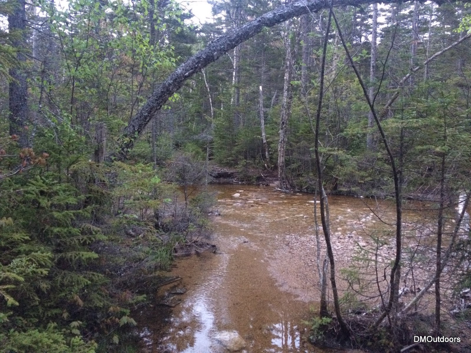
I was a little worried about the difficulty of the crossings on this night, but they were actually already pretty low after rain this week. I got my feet a little damp making my way out to the Hancocks, especially on the last couple crossings. I was able to find rocks to hop across, a couple of them being submerged. The trail was a little muddy in a few spots, but not bad at all. The crossing on the way to the Osceolas was no problem. The trail was a little damp, but there were no hazards other than the dense fog. For Tecumseh, the trail was damp, and the stream crossings were no problem.
 |
| Hancocks |
 |
| Hancocks |
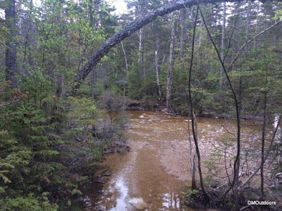 |
| Hancocks, wide but shallow here |
 |
| Hancocks |
 |
| Oscecola's crossing |
Hike Stats - Hancocks
Trails: Hancock Notch Trail, Cedar Brook Trail, Hancock Loop Trail
Distance: 9 miles
Elevation Gain: 2,961 ft.
Actual Book Time: 3:10
Garmin Adventure
Hike Stats - Osceola's
Trails: Greeley Ponds Trail, Mt. Osceola Trail
Distance: 7.6 miles
Elevation Gain: 3,092 ft.
Actual Book Time: 1:56
Garmin Adventure
Hike Stats - Tecumseh
Trails: Mt. Tecumseh Trail
Distance: 5 miles
Elevation Gain: 2,280 ft.


No comments:
Post a Comment