 |
| View from Ferncroft Road |
Immediately, I sensed something different about the area. I think its different than the more northern 4000 footers. There is something about the houses, the land, the hiker friendly signs, and just the views. What a place to be. The air was pretty thick, so it was already warm. Everything was pretty wet still, so there was a little concern about the ledges being tricky, but off we went following the signs to the Blueberry Ledge Trail. Everything was well marked, so just explore around down the road and you shall find the way.
Finally on the trail, we experienced some rocks and wet roots basically, but nothing too difficult for a while. The morning sun's rays were coming through the trees, which really made it enjoyable.

You immediately know when your approaching the south ledges of Whiteface when the path turns into slabs. The sun continued to increase and gave a nice shine as it came over the tree tops. The views started to appear just as it got much steeper. We were looking forward to these rock scrambles. There is a section of trail near the beginning of the ledge that turns right to go up, but has a ledge to the left that must be more than several hundred feet down. This section was still wet with trickling water and had our full attention.
 |
| Not necessary to risk getting any closer... |
 |

 |
| Me on the summit of Whiteface |
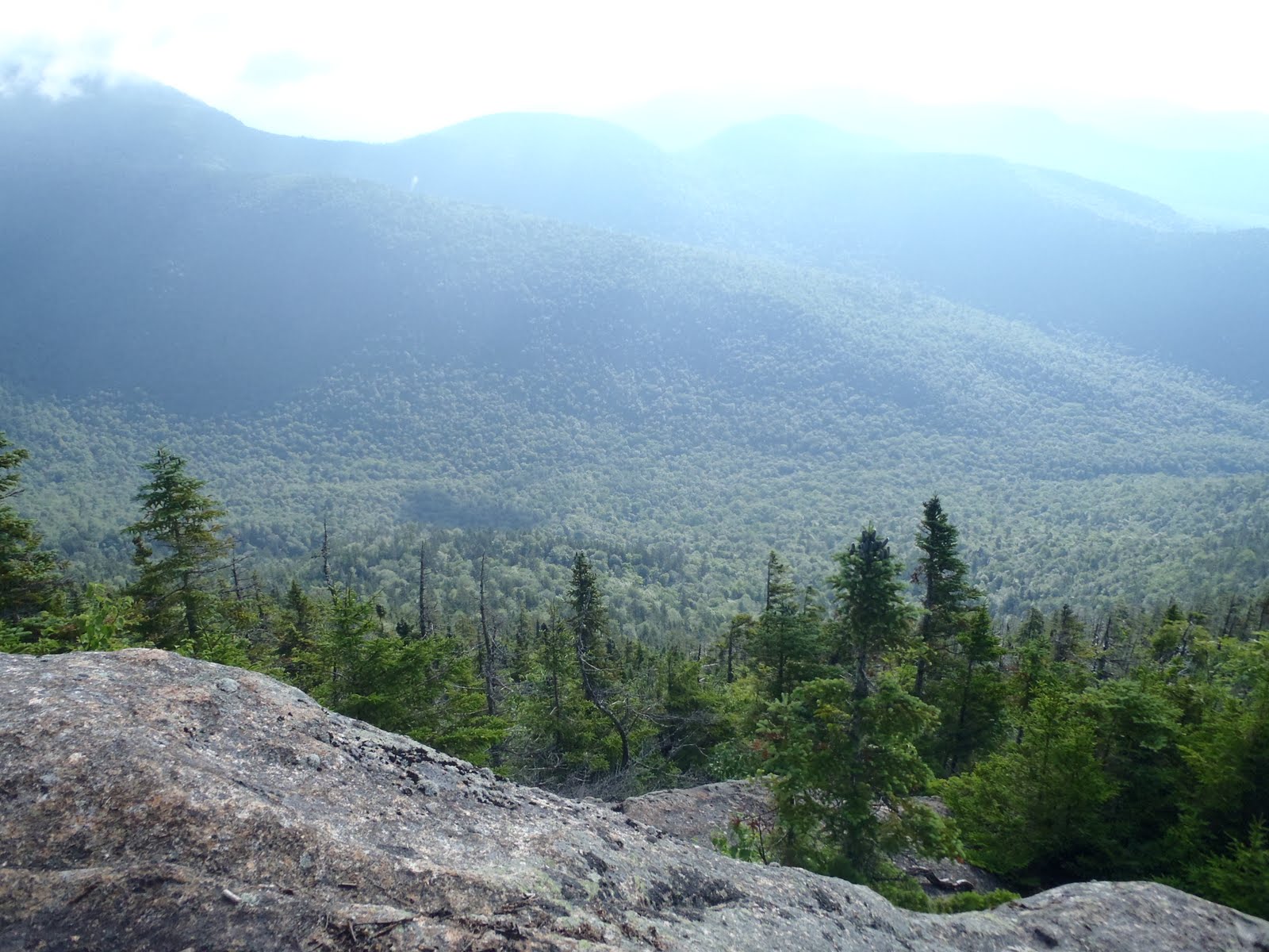
On the Rollins Trail, we quickly moved over the ridge headed to Mt. Passaconaway. Ridgeline trails are incredibly fun to hike, and this one didn't disappoint either. Sometimes along the way, the trail hugs a steep section and provides a great view of the The Bowl. The Bowl Natural Research area is an area between Whiteface and Passaconaway that has trees up to 400 years old and has no recorded history of logging or wildfires. Marked on the map, we looked it up, and knowing this made it even more enjoyable. There are not many areas like this left, no matter what region your from. Time on the Rollins doesn't go by super fast; it feels like a while before you see Passaconaway get closer. We eventually passed a junction and began the climb up Passaconaway.

 |
| Me on Mt. Passaconaway |
Trails: Blueberry Ledge Trail, Rollins Trail, Dicey's Mill Trail
Miles: 11.9
Elevation Gain: 3800 ft
To view the full album of selected photos, click on the slideshow below.
No comments:
Post a Comment