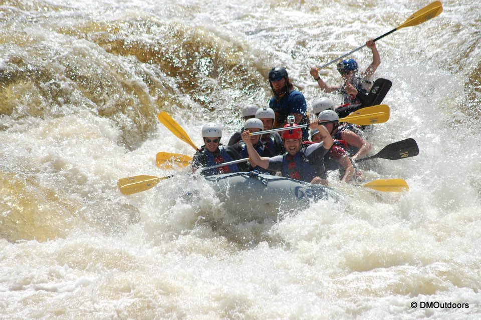
Here we were, July 22nd, the day after crashing down the Penobscot River all day on whitewater about to hike one of New England's best day hikes, Mt. Katahdin and the Knife Edge. Its always fun going to a new place, with no idea of what to expect. It was a hot, but beautiful day. Our friend Mike had secured a Day Use Parking Reservation for Roaring Brook. We got there at about 8AM, which was one hour later than when DUPRs are held until they are filled by first come-first serve. But, the ranger said that there was one space left, and we'd be able to go in. We almost were turned away, which I could not believe. Then we had to pay the entrance fee of $14. Jeesh, pretty difficult process for my liking, especially for New England. The one space remaining was barely wide enough for Mike's car, and since we had to park there, we came back to the car after the hike, he was left with a nice scratch on his door! It was an awkward start to the morning, but we carried on.
So we geared up and started up the Chimney Pond Trail. This trail was a slow gradual ascent with good-sized rocks, which didn't necessarily make it an easy 3 mile walk in to Chimney Pond. As you get closer, the woods open up, and there are a couple of spots you pass along the way with views up to the ridges.
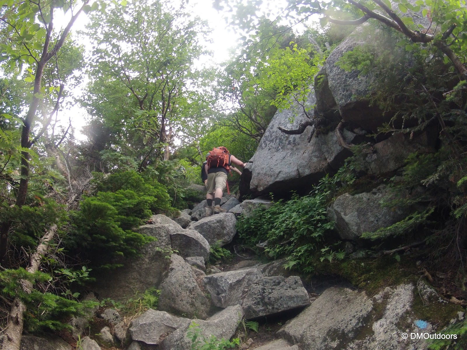
Once we made it to the Chimney Pond area, we took a break for about 20 minutes. There are outhouses, and an open-air gazebo-like structure, and places to sit down. Curious red squirrels ran about. After some gained energy, we were ready to hit the Dudley Trail. I knew it was steep, but I was pleasantly surprised at the effort I was immediately exerting to ascend this trail. Wow, this is climbing a mountain, and this is the stuff we like.
 |
| Bill climbs the Dudley Trail |
 |
| Up we go on the Dudley Trail - What fun! |
About halfway up the Dudley Trail the views began to open up, and immediately we realize this is one helluvanawesome climb, especially when we looked back at the view and out of the ravine. What an amazing backdrop for an ascent.
 |
| Sharp pointy rock on Dudley Trail |
 |
| Looking down to Chimney Pond with Hamlin Ridge top left |
The final approach to Pamola Peak is very similar to that of Mt. Washington, in my opinion, with large boulders forming a "rockpile", which I thought were slightly more challenging than Washington. We made the summit, where several people sat taking a break. The summit is not very large. Pamola Peak is an unranked 4000 footer, and marks the beginning of the Knife Edge if you are ascending it to Mt. Katahdin. We took a few moments to refuel again before starting the traverse.
 |
| Pamola Peak |
 |
| Mike and Nicole descend the Chimney between Pamola & Chimney Peak |
 |
| This is the climb up to Chimney Peak once you get down from above |
The climb between Pamola and Chimney Peak might be one of the toughest spots on the whole traverse. This required some focus, slow and careful movements, and keeping your body close to the rocks. A heavy pack here could be a recipe for serious injury. For someone short like me, this section wasn't a walk in the park, but it was exciting being completely exposed to a 10-30 foot fall, where injury would almost be certain. Still, there were families with young children doing this, but I'd say this route so far was very difficult. I would say from the start of Dudley and all of the way Katahdin that if you miss a step or are not paying attention to every single step, even a minor slip and fall could cause serious lacerations or broken bones or worse depending on the fall. The rocks are extremely sharp.
At the top of Chimney Peak, we could see thunderheads coming over from the West, which is where they generally come from on Katahdin. The ranger at Roaring Brook also informed us that there was a good chance of storms. Thankfully, one thunderhead after the other simply passed us by with no loud cracks or people scrambling. There is no question that the Knife Edge is a difficult trail. To me, it was not as crazy as it sounds or looks, but you must be focused. The trail varies a lot from sharp rocks that you have to jump over and use both of your hands to flat ledge that is very close to the edge. Most of the way you can look left and then right and just see down on both sides of you (see video below for this perspective). I love hiking ridge lines, so I was right up front leading the way and having a blast.
 |
| Bill traverses the Knife Edge |
 |
| The Knife Edge hiking towards Baxter Peak |
 |
| The Knife Edge from Baxter Peak - Photo by Mike. W. |
 |
| Chimney Pond Knife Edge |
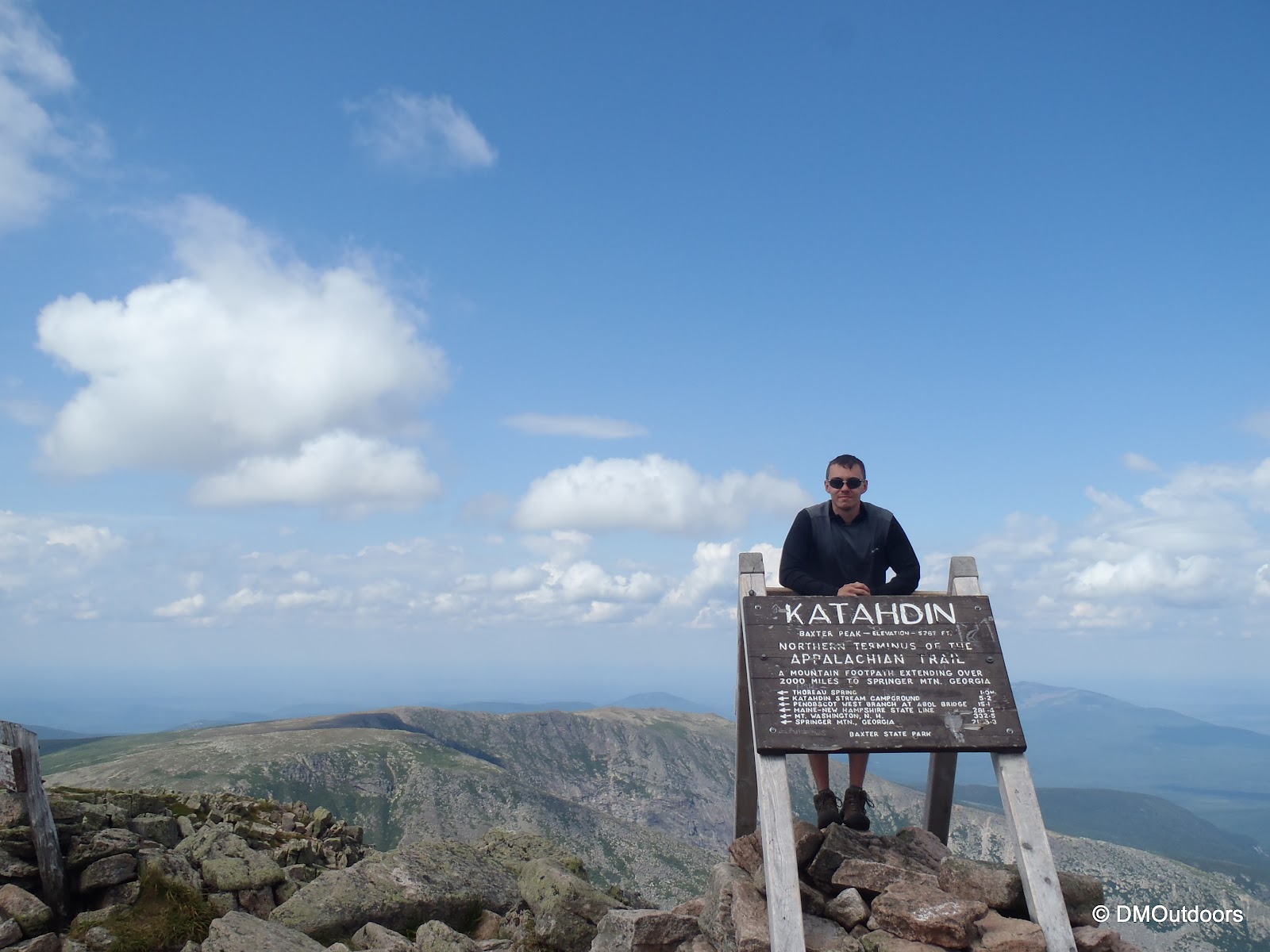
Once your more than halfway across, the difficulty decreases slightly, and now it becomes more like climbing to the summit of Mt. Washington, but with more of a dramatic view. The stand-up AT sign and very large summit cairn of the tallest mountain in Maine were now not too much further. Although me and my brother were slightly ahead of our friends on the way across, we slowed and we all reached the summit together. For the occasion and success of an exciting weekend, a sweet shot of some Glenlivet Whiskey was enjoyed by all. We enjoyed the summit, as others were, for about 20-25 minutes taking photos and a break.
This was my 2nd ME 4000-footer, and Bill's first. Mike had attempted Katahdin three times previous but never reached the summit because of weather. This was a fulfilling hike for he and Nicole and good practice too. The next day, they left for out West to hike Mt. Adams at 12,281ft and visit with friends in Oregon.
 |
| Approaching Mt. Katahdin from the Knife Edge |
 |
| Mt. Katahdin, Baxter Peak - Highest peak in ME - 5268' |
 |
| Mt. Katahdin summit plaque |
 |
| My 50th New England 67 peak! - Mt. Katahdin |
 |
| Hamlin Peak and ridge from the Saddle |
After Baxter Peak, it was questionable as to whether or not Hamlin Peak would get bagged on this day. Tiredness was taking over, and it was now into the later part of the afternoon, and thunderstorms would be more and more likely every minute. On the way down from Baxter Peak at the junction with the Saddle Trail, it was discussed and agreed upon that me and Bill would go for Hamlin Peak and meet up with Mike and Nicole on Chimney Pond Trail or back at the car. They decided to descend at the Saddle Trail. It was also a trail Mike has been twice or more before, so there were no concerns splitting up. We agreed upon an approximate time for me and my brother to get back, and that plan estimated that they would only have to wait about a half hour at the car at the most. Off we went.
The hike down from Baxter Peak and over the saddle was fun and was undoubtedly the easiest part of the hike. It was like being on the south-eastern slopes of Mt. Washington except with a different view, and more remote view. There was a little elevation gain going up the other side, but the trail winds towards the back side of Hamlin Peak, and after a signed junction, and a right turn, you're just steps away from the summit sign.
 |
| On the summit of Hamlin Peak - 4756' |
 |
| From Hamlin Peak, the chimney between Pamola and Chimney Peak |
The difficulty increased again a bit on the descent down the Hamlin Ridge Trail. The ridge remains exposed for a long distance before descending into the trees. The views in front of us were incredible and we could see right into the Northwest Basin on our left. From time to time as we looked back, the sun and clouds put on a show. There were shadows in front, and behind us the sun's rays protruded through the puffy white clouds, almost as if it was some sort of sign from above. We descended very quickly and actually passed Mike and Nicole at Basin Pond (on the Chimney Pond Trail), where they had stopped for a dip, so we were back at the car waiting for them.
 |
| Descending Hamlin Ridge Trail |
 |
| White Admiral Butterfly that allowed us to get close |
This was a fantastic hike, and it lived up to everything I expected. It is truly a classic and one-of-a-kind, just like a Franconia Ridge Traverse or Bonds Traverse is. I highly recommend this loop for anyone working on the New England 4000 footers. Anyone going on this hike should have some experience crossing boulders using all four points of contact and be able to lift your leg to your chest and pull yourself up over a rock. Although the Dudley Trail is not the steepest ascent, its definitely a climb (not a hike) from the start.
Hike Stats
Trails: Chimney Pond Trail, Dudley Trail, Knife Edge, Saddle Trail, Northwest Basin Trail, Hamlin Ridge Trail
Distance: 13.1 mi.
Elevation Gain: 4,443 feet
Book Time: 10hrs 10min