The weather for this past Thursday afternoon was looking fantastic. With this planned a week in advance, I had arranged my workday for a quick early morning ride to the job sites down in Plymouth, MA, and then raced back to meet Alton at 12pm. We were at the trail head around 2pm. As we exited the car, and Cole jumped out to stretch the legs, a ranger was there and was a little harsh in his tone when he told Alton it was the law for the Cole to be on a leash. Literally like 30 seconds after getting out of the car. The law is actually ..leash or verbal command, as the sign indicates at the Mt. Clinton Road Trail head. The approach of the ranger was a little silly, but we brushed it off. As I paid for my parking, I went back to the car for a pen, and took the opportunity to say he ought to replace the pencil when he gets a chance. (Little does this ranger guy know) Cole and us' plan was to hike a double Presi, and/or at least some fashion of an out and back Presi. Before the hike, we always plan out, or talk out our options. We have a knack for making last minute decisions, and crafting our plans on the go, but not without a lot of discussion before and during the hike. One option was after reaching Madison, we could return hitting Isolation, and hiking out via Isolation-Dry River Cutoff-Mt. Clinton Trail back to Crawford, or the other option was return via Gulfside, Westside, Crawford Path with no summits, and our third option was to descend to the west slopes (Caps, Ammo, Edmands), and hike roads back to Crawford. What was NOT an option, was getting back to the car any later than 6am, as Alton had a scheduled appointment at work, which was of high importance. With all of that in mind, we started up the trail at 2:15pm.
OMG it's Cole on a leash! ... for like 30 seconds
Heading up the Crawford Path
Mt. Pierce
Webster-Jackson and Crawford Path junction
The hike up to the ridge was nice. Seeing what we're about to hike across is always awesome. On Mt. Pierce, a guy recognized Cole "from the internet" - never said he recognized Alton or I, just Cole. This pup is something else, I'll tell ya. Next up, we made a quick jaunt of the next section to Eisenhower. After a nice break up there, we ran off the summit on a fast approach to the Monroe Loop. I enjoy a northbound traverse when the pace is fast, as once up to the ridge, it's a nice flow over the easier terrain on the southern presis and good time can be had getting towards Washington and the halfway point. When the goal is to ultimately hike back to Crawford after reaching Madison, we had to keep the pace, like we always do.
A panorama from Mt. Eisenhower summit
Mt. Eisenhower summit cairn, looking west
Alton hikes between Eisenhower and Monroe. We hit Franklin too.
Cole is happy and ready to take on the Monroe Loop, but first....little Monroe.
Cole found a puddle but it was a bit muddy than expected.
He was half black and half white for a while.
Cole enjoys the summit a bit longer, as we leave for Lake of Clouds Hut
Lake of the Clouds, always majestic
Cole enjoys a cool-down with one heck of a setting
One of my favorite spots in the Whites to stop and take a look back.
Mt. Monroe was the spot of my 48 finish.
The climb to the top of Mt. Washington was steady as usual. It was quiet and nice and warm, so it was easy to keep going while enjoying the view. We reached the summit in the 6 o'clock hour, no one else in sight. It was my 27th summit of New England's highest peak. Despite hiking most of the 4,000 footers at night together last year, this was Alton and I's 1st Washington summit and Presi Traverse together, something we only realized as we were on this hike. After a quick picture, we readied for the baby jog to Mt. Clay, another stretch to make good time. With the sun lowering, we enjoyed incredible views and calm winds as we descended past the Great Gulf. There was running water along this section, and it offered a unique view with the sun glistening off the water.
The Great Gulf, between 6 and 7 pm
Cole found another puddle, another spectacular spot near Mt. Clay
Looking west on the approach to Mt. Jefferson at sunset
Cole summits Mt. Jefferson at sunset
Enjoying a comfortable evening above treeline
We cross the Jefferson snowfield at twilight with no winds
We made really good time from Jefferson to Adams. Although its not the first time being calm up here, it still had is in an awe during this section. We joined with the Israel Ridge Path and made it to the summit of Mt. Adams. We didn't stay long, and we made it down the tricky Airline Trail. The rocks are pretty big on this trail, and tough descending at night, but we kept going and made it to the hut. We dropped the packs and made it quickly up to Mt. Madison for the 10th peak, and 8th 4,000-footer on this full Presidential Traverse. From Crawford Path it was 14 miles in 8:50. This included 1:50 of stopped time enjoying the hike. We quickly descended back to the hut.
Alton and I on Mt. Adams
Mt. Madison Summit, just after 11:00pm
Despite a nice time on the way across at 8:50, it was now after 11pm, and that left us about 7-ish hours for the return trip so Alton can be home in time. With that in mind, we headed back up the Gulfside Trail towards Thunderstorm Junction discussing our options. We kept moving, traveling back to Edmands Col, and there we finalized our previous discussion that we were going to head over to Caps Ridge via Randolph Path for a minute and then the Cornice to Caps Ridge Trail. The wind had picked up a little bit on the way over and remained consistent, which solidified this decision. We would probably not even be close if we did any other option. We entered onto the Cornice Trail, and it was fairly rocky and steep compared to its appearance on our map. With the wind going pretty good, and us being spaced out a little farther, being later in the hike, Alton misread the trail sign, continued, and we started to go beyond the right junction to access Caps Ridge. Alton ended up going all of the way up to Jefferson again. I saw Alton pass the sign, and I yelled "Oh, next one?!", but she didn't hear, and I trusted her, so we continued for some minutes. Alton was gone following cairns, I was crawling during this section, but after a few more minutes, I knew something was up, and it wasn't going to be me ....climbing any more. I checked my GPS, and was .16 away from Caps Ridge Trail, and saw that we were in fact ascending Jefferson again. I quickly rock hopped my way over in a fast straight line and began looking up. A few short minutes later we saw each others headlamps, and we descended saying what the hell just happened. I knew I should have also looked at the sign, but I didn't. The sign might even have been a little askew. Little things like this can happen when you push yourself on tough hikes, but trusting your hiking partner and remaining calm is important, no matter what happens.
The Cornice Trail at night, most of it anyways.
Darn my feet were killing going down Caps Ridge. Through the wind, I think I heard Alton say ahead of me, "I think we're almost done with the Caps". About 20 minutes later when I caught up with her next we were still on the Caps. Felt like the most sore descent in a while for my feet, but eventually we made it to the parking lot and took a quick break. Didn't help with her messing up the route and jinxing our distance to go, but I would never get mad! From the Caps Ridge Trail head to Mt. Clinton Road Trail head is 6.5 miles via Jefferson Notch Road and Mt. Clinton Road. We chose this plan because no matter how tired we are, we knew we could take care of 6.5 miles and make it back in plenty of time to make it to work. It was a long walk without stopping, and it even started to rain Alton and Cole saw a Moose, but I didn't. We arrived back at the trail head at 5am, one hour before our latest time to leave and be on time. Another successful night hike in the books. Despite only hiking 11 hikes since January 1st, I have done 44 4,000-footers, 236 miles, and 84,000 ft. of elevation. My average hike distance this year so far is 21.5 miles and 7,700 ft of elevation gain. Alton & Cole have joined me for 9 of those hikes. Clearly we're having fun with having fun doing long and difficult hikes. Perhaps we'll see this continue this summer...
The only sleep I got in 32 hours
Cole fast asleep, probably dreaming of his next biggest hike
Highlights:
Me and Alton's first Presi Traverse and Mt Washington summit together.
27th summit of Mt. Washington
20th summit of Madison and Eisenhower
12th Presidential Range Traverse
Trail Conditions:
All of the trails used were mostly dry. Microspikes are not needed anywhere along the traverse. There was some runoff on Gulfside coming down from Washington - it was pretty cool shining in the setting sun. Lots of puddles for dogs, Cole was well hydrated and cooled. Couple small blow downs on Caps Ridge Trail. The rocks in the northern presis were hard and sharp as usual. We had a beautiful evening with barely any wind and warm temperature except wind while descending Caps.
Hike Stats
Trails: Crawford Connector, Crawford Path, Webster Cliff Trail. Eisenhower Loop, Monroe Loop, Gulfside Trail, Clay Loop, Jefferson Loop, Israel Ridge Path, Airline Trail, Osgood Trail, Randolph Path, The Cornice, Caps Ridge Trail, Jefferson Notch Road, Mt. Clinton Road.
With 17 4,000-footers to hike this month for my goal. On Wednesday night, I set out for my usual mid-week night hike to kick off June, and for this night I decided on the Hancocks & Osceolas. I decided on the Hancock's first so that I could get a good daylight glimpse of the multiple crossings in case they were higher than the norm (see below for river crossing photos). At 7:44pm, I was off and headed up the trail.
Starting the hike to the Hancocks
Almost to the Hancock Loop Trail
Last light approaching the South Hancock Summit
It was nice to have some stars out, but it seemed to cloud up as I traversed the ridge to North Hancock. I descended quickly, and motored along the trail non-stop until I was finished. When finished, I noticed a thorn had got me good on my knee when I had to scoot along the edge of one river when I crossed. Didn't notice until the end.
North Hancock Summit
Night time river crossings!
A fairly deep gouge for a thorn
About 15 minutes after arriving at the car from the Hancocks, I moved over to the Greeley Ponds Trail head and started my way to the Osceolas. It was comfortable out, about 50 degrees. I had changed my shirt, and was ready for another steep battle. Once I got to the ridge, I was in the clouds, and in a dense fog bank which penetrated the trees onto the trail corridor.
Greeley Ponds Trail head
Steep trail to East Osceola
Dense fog on Mt. Osceola Trail\
East Osceola Summit
After the summit, I made fairly quick work to the chimney and bypass section. As fun as it is, there's no need to ascend the chimney myself in the dark, so without hesitation I scooted up the bypass and continued on my way. Arriving at the summit of Osceola was pretty ominous as the fog cover was very thick. After a very short break, I headed back, reaching my car in amazing one hour and fifty-six minutes, the quickest I've ever hiked the Osceolas.
The bypass to the chimney at night
Arriving at the Osceola Summit
Osceola Summit Marker
Heading back down the bypass
Since it was only 2:00am, and I had thoughts all night about such, I decided that I had just enough time to go get Tecumseh before I had to be at work. Without much hesitation, I hopped in the car and drove Tripoli Road to the Waterville Valley Ski area. At 3:45am I was on my way up Tecumseh for my 5th 4,000-footer of the night. Just like the Osceola's the dense fog was settled over the mountain creating an eerie atmosphere. One foot in front of the other, I reached the summit in a little over an hour. This was my 10th summit of Tecumseh. On the summit, the birds started to chirp meaning sunrise was approaching. I made my way down, finishing in just under two hours, with plenty of time to get back to MA and arrive timely for work. Its amazing that I can pull up to three different trail heads and do five 4,000-footers without ever seeing another person. The total for the night was 21.3 miles and 8,712' of elevation gain in 8 hours total trail time, which is comparable (in distance and elevation gain) to a Presidential Range Traverse or climbing Mt. Rainier.
Mt. Tecumseh Trail
Going to be a socked in summit
Mt. Tecumseh Summit around 4:30am
Highlights:
Hancocks - 11th Round
Osceolas- 10th Round; new personal fastest time
Tecumseh - 11th Round; #476/576 for Grid. 100 to go between now and November.
Did not see another person all night.
3rd time to each peak in 2015
Trail Conditions:
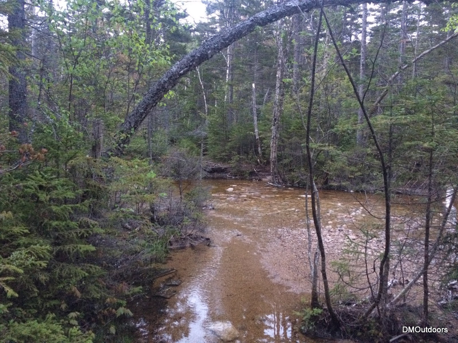
I was a little worried about the difficulty of the crossings on this night, but they were actually already pretty low after rain this week. I got my feet a little damp making my way out to the Hancocks, especially on the last couple crossings. I was able to find rocks to hop across, a couple of them being submerged. The trail was a little muddy in a few spots, but not bad at all. The crossing on the way to the Osceolas was no problem. The trail was a little damp, but there were no hazards other than the dense fog. For Tecumseh, the trail was damp, and the stream crossings were no problem.
Hancocks
Hancocks
Hancocks, wide but shallow here
Hancocks
Oscecola's crossing
Hike Stats - Hancocks
Trails: Hancock Notch Trail, Cedar Brook Trail, Hancock Loop Trail
It was another beautiful Wednesday night in the mountains. This week's adventure would take my brother, friend Alton, and I around the classic Tripyramids Loop, up the North Slide, over the Tripyramids, and down the South Slide. We were treated to great trail conditions and comfortable temperatures for this nice evening jaunt into the Sandwich Range Wilderness.
Beautiful afternoon in the Sandwich Range Wilderness
Only ice left at the beginning of the slide
We just missed the sun going down behind the peaks, but the sunset we did have provided enough of an epic scene for what is always a fun climb up the North Slide. Here's a sampling of photos from the sunset ascent. Be sure to check out the full album to see much more (link below).
Carrigain & Vose Spur in the pink glow above the shadowy horizon on the right.
Looking to the left in the photo above, here is a close up of the summit of Tecumseh.
Bill, super-pup Cole, and I stop for a breather on the North Slide.
Taking it all in....
Sunset behind the Osceola's
North Tripyramid Summit
Middle Tripyramid Summit
Cole looks out and over the South Slide. It was beautiful here, and very silent.
Descending the South Slide
Highlights:
Tripyramids - 10th Round
North Tripyramid - 600th White Mountain 4,000-footer
My brother's first hike in the White Mountain since last summer.
Sunset from North Slide. I have now seen sunset and sunrise from the North Slide
Trail Conditions:
The route is bare all of the way (including the North Slide) to the woods at the top of the slide. Once at the junction near the summit, a thin monorail exists, which was mostly avoidable or had hardened foot-steps. There was almost no ice, and we never needed micro-spikes. Right from the summit of South, and all the South Slide was also bare. Finally happy to put the snowshoes and micro spikes away for good away after this week.