Showing posts with label Sunsets. Show all posts

Thursday, May 14, 2015

Tripyramids Loop - 5/13/15


It was another beautiful Wednesday night in the mountains. This week's adventure would take my brother, friend Alton, and I around the classic Tripyramids Loop, up the North Slide, over the Tripyramids, and down the South Slide.  We were treated to great trail conditions and comfortable temperatures for this nice evening jaunt into the Sandwich Range Wilderness.

Beautiful afternoon in the Sandwich Range Wilderness
Only ice left at the beginning of the slide
We just missed the sun going down behind the peaks, but the sunset we did have provided enough of an epic scene for what is always a fun climb up the North Slide. Here's a sampling of photos from the sunset ascent. Be sure to check out the full album to see much more (link below).


Carrigain & Vose Spur in the pink glow above the shadowy horizon on the right.

Looking to the left in the photo above, here is a close up of the summit of Tecumseh.
Bill, super-pup Cole, and I stop for a breather on the North Slide.
Taking it all in....
Sunset behind the Osceola's
North Tripyramid Summit
Middle Tripyramid Summit
Cole looks out and over the South Slide. It was beautiful here, and very silent.
Descending the South Slide

Highlights:
Tripyramids - 10th Round
North Tripyramid - 600th White Mountain 4,000-footer
My brother's first hike in the White Mountain since last summer.
Sunset from North Slide. I have now seen sunset and sunrise from the North Slide

Trail Conditions:
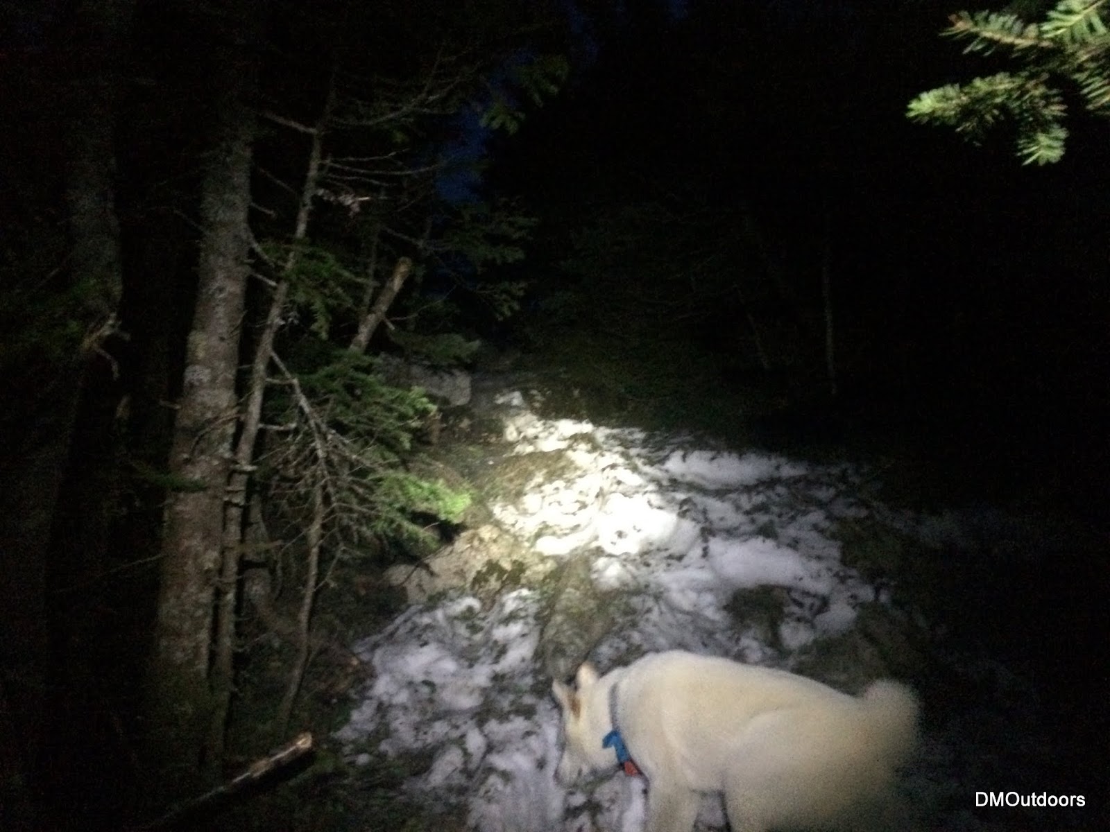
The route is bare all of the way (including the North Slide) to the woods at the top of the slide. Once at the junction near the summit, a thin monorail exists, which was mostly avoidable or had hardened foot-steps. There was almost no ice, and we never needed micro-spikes. Right from the summit of South, and all the South Slide was also bare. Finally happy to put the snowshoes and micro spikes away for good away after this week.
Livermore Road 
A bare North Slide 
Monorail at 4,000 ft.

Hike Stats
Trails: Livermore Road, Mt. Tripyramid Trail
Distance: 10.5 miles
Elevation Gain: 3,3238 ft.
Actual Book Time: 5:35
Garmin Adventure Link
Photo Album Link

Thursday, May 7, 2015

Mt. Moosilauke & Mt. Tecumseh - 5/6/15


Talk about a beautiful evening for a hike. With my friend Alton, we decided this Wednesday night would be a good candidate for a Moosilauke and Tecumseh double.  Knowing how awesome sunset from the Moose is, we decided to hit that one first.  With the weather really nice, we moved quickly up to South Peak, and then arrived perfectly on-time for sunset on the summit of Moosilauke.  There is nothing better than a perfectly timed sunset summit arrival, especially when your flying out of work and just trying to get two hikes in.  With a little constant breeze across the summit, we spent about 10 minutes or so watching the sun dip below the mountains to the west.  After that, we ran all the way down.
Glencliff Trail
Hummmmmmmmmmmmm - South Peak Sunset
Cole leading us all to the summit
Sunset from Moosilauke
Moosilauke summit
It took us exactly one hour to race over to Mt. Tecumseh.  With dry socks but soaked shoes, up we went the steady and mighty Tecumseh.  It was much icier than the Moose, so it was pretty tough on the legs.  At one point the moon had risen over the horizon and seemed as if someone turned a light on.  We pushed up the last stretch, where the monorail was a real crumbly knife edge, and we hit the summit in the almost full-moonlight.  Looking at the time, and knowing we'd get home by 2am, we ran all the way down putting the trust in our legs on the trail of ice.
Fast and fun hiking duo
Cole on Tecumseh in the moonlight
All said and done, I put up new fastest times to each of these peaks (any season), doing them back to back, and with icy post-holed monorail conditions.


Highlights:
Moosilauke - 12th Round
Tecumseh - 10th Round
New personal fastest book times on both peaks.
Spectacular sunset on Moosilauke followed by illuminated woods on Tecumseh from the brightness of an almost full moon.

Trail Conditions:
Moosilauke - The trail is bare for about half of the ascent to ridge, where it turns into sections of ice, followed by sections of larger monorail that is basically a little knife edge dirtied by all the pine needles.  The snow was hardened enough to make it fairly easy to bareboot it all of the way to South Peak and Moosilauke, but be warned, you will get your feet soaked if you don't wear full gaiters.  We wore microspikes for half of the descent to cope with the snow and ice.

Soft snow, with some hardened steps and postholes
Tecumseh - Tecumseh was bare to start, but the ice and snow started very early.  The ice on the trail was much more slippery and treacherous.  Slowly, there was more snow than ice, however the stepping was irregular, which really made it seem like a hamstring workout to try to prevent your step up from slipping back.  Although we bare-booted up, microspikes would be helpful.  They were required for the descent so to not kill our selves on the treacherous ice.

Icy trail

Hike Stats

Moosilauke
Trails: Glencliff Trail, South Peak Spur, Moosilauke Carriage Road
Distance: 7.8 miles
Elevation Gain: 3,508 ft.
Actual Book Time: 3:05
Garmin Adventure Not Available

Tecumseh
Trails: Mt. Tecumseh Trail
Distance: 4.8 miles
Elevation Gain: 2,488 ft.
Actual Book Time: 1:54
Garmin Adventure Not Available

Photo Album Link

Friday, August 15, 2014

Hancocks for Sunset - 8/1/14


With July behind us, it was time to see what peaks were needed for August.  This summer has been loaded with family outings, more so than the last few years.  That's been totally awesome, and it's only allowed for hiking on different days, rather than both days every weekend.  With a party for Saturday to attend, my brother and I set out sights on a Friday night sunset hike for the first of August.  Our peak selection was the Hancock's. 

Hancock Notch Trail
A high squirrel doesn't give a sh*t about us
We got there in good time after work, being prepared the night before, as usual.  Bill was excited to get out again after another stint of not hiking much.  For this one, we each brought a beer to enjoy at sunset.  I've been stashing whatever I can to add weight to my packs lately anyways for training purposes so no problem with that.  Immediately after starting up the trail, I nearly stepped on a squirrel that didn't move as it ate something.  You know when you're watching the person's feet in front of you? Well Bill almost saw the squirrel get squished. After we both passed, it moved off the trail in a stumble.  We found that it didn't want to leave the mushroom it was snacking on.  Perhaps it was a funky mushroom. After the funny squirrel, we pushed it up the trail,  because we needed to move to make sunset.

The stream at the bottom of the dip on the North loop
Hancock Loop junction with nice colors
We decided on doing North Hancock first.  It was the best shot at actually seeing the sunset, as South Hancock outlook faces the east.   We kept up the effort up the steep trail, as time was fading to make sunset.

Arrow Slide from the loop trail
Hancock Loop to North Peak
With literally only two minutes before actual sunset we arrived at the summit of North Hancock.  The sky was a nice color.  The clouds seemed to reflect and have some color to them.  The orange ball of the sunset was just visible for a couple of minutes through the trees.  The temperature was nice, it was good, and we cracked open one of the pints and toasted to a nice sunset summit of North Hancock.

View from the North Hancock outlook
Sunset from North Hancock
Have some Mo


Feeling rejuvenated and ready to go, we set off across the ridge.  It was just a perfect weather night, and no one around.  We checked out possible spots to enter from the Captain, since we're headed out there soon, and maybe this winter.  It had just about gotten fully darkas we approached South Hancock, and somewhat thick cloud cover contributed to that.  We went to the lookout, and could see the lights on Route 302, which was a new sight.  In the day,  you don't see any civilization.  We busted out the second pint and enjoyed another 4,000 footer summit.

South Hancock

The hike down was nice and smooth, just like the beer we drank.  What a nice Friday night hike.   It was my 6th time to the Hancock's,  3rd time for my brother and his first time without snow.  We then got a good night sleep before having a great time with cousins and friends at the party on Saturday.

Hike Stats
Trails: Hancock Notch Trail, Cedar Brook Trail, Hancock Loop
Distance: 9.8 miles
Elevation Gain: 2,713 ft.
Actual Book Time: 6:30
GPS Track: Garmin Adventures

Thursday, August 14, 2014

Mt. Moosilauke & South Peak for Sunset - 7/30/14


This little adventure here is another one of my recent mid-week night jaunts up above 4,000 feet.  This time, it was the convenient Mt. Moosilauke on Wednesday, July 30th, and I had a date with sunset on the summit.  I'm hardly ever late for anything except work, but either way my goal for this one was to work hard, stay on point, focused, and push myself to guarantee my arrival for sunset....and then, of course, enjoy it!  With it being 6:15pm and just the Glencliff Trail ahead, I know that it wouldn't be a problem, as I've done this whole hike in 3.5 hours before.
The field before the start of the Glencliff Trail
Glencliff Trail to Moosilauke 
TIP: An evening hike up the Glencliff Trail is always nice because
you have the setting sun for longer on the West side of the Mountain
Indeed it was not a problem.  I made it to the Carriage road, three miles up in one hour flat at 7:10pm, which meant I had plenty of time to visit South Peak before sunset at 8:14pm.  I had not been to South Peak since April of 2012, so I was excited to be up here with such great evening weather and an awesome view of the Moose. 
South Peak spur, with the sun shining through the trees 
Moosilauke, South Peak with the main peak being the tallest
Panorama from South Peak  
After a few short minutes, I dipped back down the spur to the Carriage Trail and started up the last .6 miles to summit.  I arrived at 8:06pm, just a few minutes under two hours from my start, and 8 minutes early for my date with sunset.  This was my 9th time to the summit of Moosilauke, and my 90th 4,000 footer in 2014.  After pushing it up the mountain at nearly 3mph, I took a lengthy break up on top, about 40 minutes enjoying the beautiful night.  The moon was out with the sunset, and it was clear and the most calm ever on Moosilauke. I did not see a single person the entire time, which really made this hike and summit special because its rare, even if it was a Wednesday night.
Sunset from the summit of Moosilauke 
My 9th Moosilauke summit 


After finishing this one, I drove back to MA, arriving home at midnight.  Its totally awesome that certain days I can leave work, drive to NH, bag a 4,000-footer, and get home by midnight.  I need to get these mid-week jaunts on a more strict schedule with myself.  However, I can promise that there will be a couple of these in the next two weeks, as I get ready for an upcoming adventure.  Thanks for reading! 
Hike Stats
Trails: Glencliff Trail, Moosilauke Carriage Road
Distance: 9 miles
Elevation Gain: 3,731 ft.
Actual Book Time: 4:45