Tuesday, May 26, 2015

Owl's Head - 5/24/15


Some probably wonder who in their right mind attempts Isolation and Owl's Head back-to-back. In pursuit of my goal to complete the Grid this November, I have 16 peaks to complete this May, and it just so happened that (as of last week) the last seven I needed required all separate hikes. Then, turns out I have the chance to close out May with my brother and 11 year old niece on Mt. Tom next weekend, so with Isolation, Owl's Head, North Twin, and Zealand left, and in order to spend time family this Memorial Day weekend, it was decided to do Isolation and Owl's Head back-to-back starting Saturday afternoon. I will do Zealand & North Twin on Wednesday night, and then close May out next weekend, whatever day I don't have other plans.  Planning grid hikes is so hard but very fun - such has been life lately, hard but fun. So it was about 9:30pm, and I was at a jammed Lincoln Woods but with no one in sight, except the Lincoln Police doing a round-a-bout through the lot.
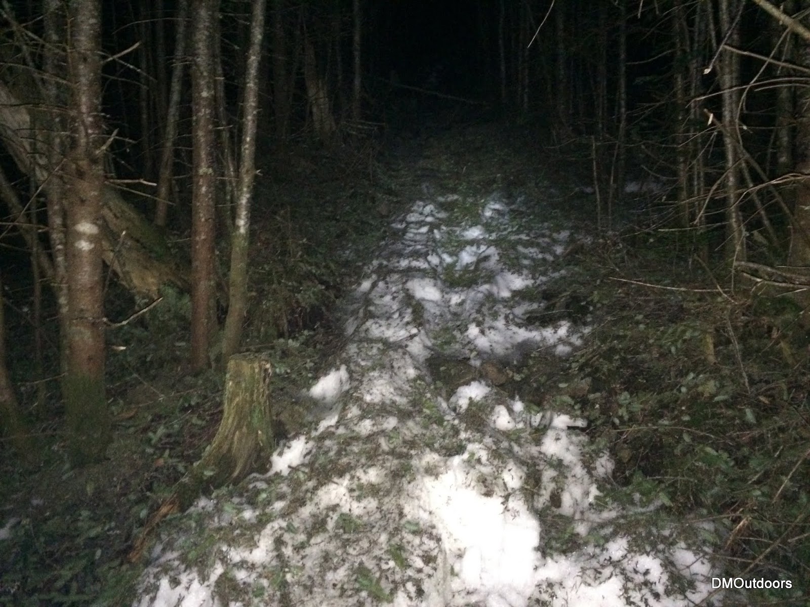
Black Pond Trail
I started off with a fast walk, reaching the Black Pond Outlook with a pace of 3.5mph. I came across a group of camping fisherman who asked me something I could not understand. I said I was just out for a night hike, but they didn't say anything in return. I figured when I came back through, I would storm through the woods as loud as possible just for fun. They probably wondered where'd the hell I was going! The bushwhack went perfect.  With all of the snow gone, I figured the best bet was to re-visit the slide after the last few times taking the Brutie. I took a 10 minute break at the base of the slide.  I only saw one sign of a camp as I approached the slide area. Other than that, the group was the only people I saw.
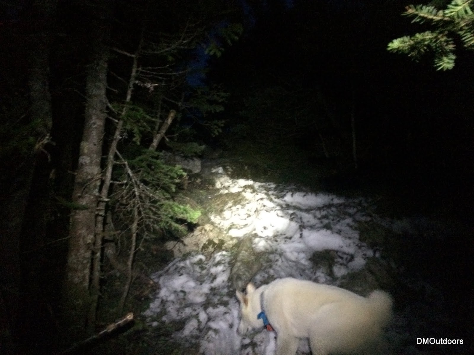
One of the two good-sized crossings on Lincoln Brook Trail
The start of the Owl's Head Path 
Just about to enter the open slide on Owl's Head Slide
After such a long day, ascending the slide was a little slower than I would have liked.  I was pretty tired, and to make things interesting it was getting really windy.  Its always good to remove headphones in certain situations, such as this one...to listen to trees cracking and rocks falling. It was eerie and on my way out and back from the summit, I sometimes sprinted for a few seconds for fear that the violent gusts could snap anyone of the trees in front of me. The summit of Owl's Head was mine around 1:20am.
Owl's Head Summit 
Owl's Head Summit - 11th Round
So at around 4:30am, a few hours later I reached the Pemi bridge with the light of morning twilight making its way down the river to me as I crossed it to finish.  It was a fun day, and it felt good to tackle two of the most remote peaks back-to-back.

Highlights:
Owl's Head -11th Round
4th Summit in 2015

Trail Conditions:The route was free of snow except for a few small patches up on the summit ridge. The crossings after the bushwhack were easy.  The trail was pretty easy to follow beyond the Brutus Bushwhack to the slide.  The slide had some loose gravel and rock mostly at the bottom, but not as much moving rocks up higher. The path leading to the true summit was also easy to follow. There was one little push through of a blow down I recall.  It was unfortunate on my return trip past Black Pond that I saw multiple occurrences of toilet paper and human poop literally right next to the trail where the Black Pond Outlook is. Perhaps the lone large group camping at Black Pond.  Would be nice to at least bury it, pack it out, or have some consideration for others' enjoyment of the woods.  Until next time!

Hike Stats
Trails: Lincoln Woods Trail, Black Pond Trail, Black Pond Bushwhack, Lincoln Brook Trail, Owl's Head Path
Distance: 15.7 miles
Elevation Gain: 3,254 ft.
Actual Book Time: 6:55

Mt. Isolation - 5/23/15


This year's Memorial Day was a little different. I'm used to putting together a big plan, but this year it was a bit more laid back.  After enjoying a huge steak dinner out to eat with my girlfriend on Friday night, I slept in and woke up with a nice breakfast.  I even had a quick soak in the tub to ease some tight leg muscles before leaving. With everyone already involved into their Saturday Memorial Day festivities, I was just heading up the pike around noon.


It was 3pm when I started my way up the Rocky Branch Trail. The trail was nice and knowing I wanted to hike Owl's Head later, I pretty much busted my hump up the trail.  Once the trail levels off and hooks around, I could start the occasional jog as it approaches the start of the engine hill bushwhack. I walked a few hundred feet into the engine hill bushwhack, but the ground seemed sloppy, so I retreated and stuck with the trails.  I took the herd path that diverts right just before the trail heads down to the river.  It crosses the river in a tame spot, and re-joins with the Isolation Trail.


I passed some groups that were heading in and some groups that were heading out, all looked like they were enjoying the day. The trail had water in it like usual, so there was tons of rock-hopping and jumping.  I'm learning that its actually easier to hover over this terrain while moving a little faster, although there is an elevated risk of falling on the face or into some water.  It was a little breezy above the trees, so knowing that, and that I wanted to take a decent break on the summit for about 15 minutes, I bundled up with a couple of layers and my gloves, and climbed up to the summit to amazing views and deep blue skies.

Presidential Range from Mt. Isolation 
Approaching the summit 
Panorama from the summit of Mt. Isolation 
Pepperoni & Cheese summit snack.
 After the nice break, and my snack, I headed out.  I had Owl's Head on my mind, which kept me moving.  I reached the car in four hours and forty minutes, shaving about a whole hour off my previous personal best time.  It sure is fun as heck to be able to hit one of the most remote peaks, a favorite of mine, in such a quick fashion.  After removing my boots and socks, I drove through North Conway, picked up a couple of food items, drove the length of the Kanc to Lincoln Woods to ready for Owl's Head.

Isolation Summit - 11th Round
Highlights:
Isolation - 11th Round
Beautiful clear views
3rd visit to Isolation this year

Trail Conditions:
The lower part of the trail was pretty dry and in good condition. Once up on the hill after leveling out, the trail becomes the typical wet trail requiring some rock-hopping, and a little bit of a flowing stream heading down to the river. The river was calm and I crossed at the main crossing on the return. There were a couple of small patches of snow winding through the blow downs approaching the Davis Path, and a couple in the section towards the summit, but no traction is necessary. The trail was real easy to follow this day. On the return, I spotted a blue water bottle with a McGill Outdoors Club sticker on it. I left it by the trail head because there were so many people on the trail.
Rocky Branch Trail 
Rocky Branch Trail 
Isolation Trail on the return trip


Hike Stats
Trails: Rocky Branch Trail, Isolation Trail, Davis Path
Distance: 15.7 miles
Elevation Gain: 3,066 ft.
Actual Book Time: 4:40

Friday, May 22, 2015

Mt. Whiteface - 5/20/15


It was another really nice Wednesday afternoon in the mountains.  Needing all individual peaks requiring individual hikes this months, Whiteface was my next target. The temperatures were comfortable to start, but once some elevation was gained, a cool breeze dropped temperatures low enough to see my breath.  This seemed strange because it was really sunny and I was wearing shorts and a t-shirt.  It was a fun and fast climb to the summit, reaching it in just over an hour from the Ferncroft parking lot.  It had been a long time while since I ascended the Blueberry Ledge Trail, and it was just beautiful and peaceful to have this pretty trail to myself on this crisp and clear May day.  After a snap shot on the summit, and another very short break near the ledges, I was down the mountain with quickness, finishing the hike in two hours and forty nine minutes.  Next, I would be off to hike Mt Carrigain.

Trail Junction on the Blueberry Ledge Trail
View southwest-ish from the ledge on Mt. Whiteface  
Easterly view with Mt. Passaconaway and Chocoura
Whiteface Summit 
Whiteface Summit - 9th Round
Highlights:
Whiteface - 9th Round
Crisp air, beautiful clear views
Did not see another person.

Trail Conditions:
The route was free of snow and ice all of the way to the summit, and water bars have been raked out recently. Down low, moose droppings were spotted.
No snow or ice remaining on this route 
Recent trail work (waterbar cleaning) 
Moose activity
Hike Stats
Trails: Blueberry Ledge Trail, Rollins Trail
Distance: 7.4 miles
Elevation Gain: 3,066 ft.
Actual Book Time: 2:49
Garmin Adventure Link
Photo Album Link

Mt. Carrigain - 5-20-15


After finishing up my hike to Whiteface, I quickly headed to my next target, Mt. Carrigain.  On the way, I saw a deer off to the right, and then just a few minutes later, a good-sized bear crossed quickly in front of my car.  It's a little interesting having seen that, and knowing I'm about to hike Carrigain just after the sun has gone down.  Well, in all my hikes night or day, I've only seen bears on the road, so what's to worry. The night time woods are awesome.

It was about 9:20pm when I started my hike to Carrigan.  It in the 40s, so I had put on a thin baselayer under my shorts, and wore a long-sleeved wicking shirt.  Feeling strong, I maintained a solid pace on the ascent, reaching the summit in about two hours.  Just like the afternoon on Whiteface, the skies were clear, but the stars were now plentiful for my traverse of Signal Ridge and visit to the summit tower for a brief couple of minutes.
 
Signal Ridge 
Arriving at the summit 
Mt. Carrigain - 10th Round 
Looking out into the night over the Pemigewasset Wilderness
Highlights:
Carrigain - 10th Round
110th 4,000-footer of 2015
2nd night hike to Carrigain in 2015
Did not see another person.

Trail Conditions:
The route was mostly dry and only a few sporadic patches of monorail or ice remain approaching the ridge, and just beyond Signal Ridge going to the summit.  The patches were either hard or avoidable, and microspikes were not necessary.  The river crossing was just tame enough to find rocks to cross.  Another inch or two would mean partially submerged soles to rock hop.  Overall nice trail conditions.

Hike Stats
Trails: Signal Ridge Trail
Distance: 10 miles
Elevation Gain: 3,3473 ft.
Actual Book Time: 4:04
Garmin Adventure Link
Photo Album Link

Thursday, May 14, 2015

Tripyramids Loop - 5/13/15


It was another beautiful Wednesday night in the mountains. This week's adventure would take my brother, friend Alton, and I around the classic Tripyramids Loop, up the North Slide, over the Tripyramids, and down the South Slide.  We were treated to great trail conditions and comfortable temperatures for this nice evening jaunt into the Sandwich Range Wilderness.

Beautiful afternoon in the Sandwich Range Wilderness
Only ice left at the beginning of the slide
We just missed the sun going down behind the peaks, but the sunset we did have provided enough of an epic scene for what is always a fun climb up the North Slide. Here's a sampling of photos from the sunset ascent. Be sure to check out the full album to see much more (link below).


Carrigain & Vose Spur in the pink glow above the shadowy horizon on the right.

Looking to the left in the photo above, here is a close up of the summit of Tecumseh.
Bill, super-pup Cole, and I stop for a breather on the North Slide.
Taking it all in....
Sunset behind the Osceola's
North Tripyramid Summit
Middle Tripyramid Summit
Cole looks out and over the South Slide. It was beautiful here, and very silent.
Descending the South Slide

Highlights:
Tripyramids - 10th Round
North Tripyramid - 600th White Mountain 4,000-footer
My brother's first hike in the White Mountain since last summer.
Sunset from North Slide. I have now seen sunset and sunrise from the North Slide

Trail Conditions:
The route is bare all of the way (including the North Slide) to the woods at the top of the slide. Once at the junction near the summit, a thin monorail exists, which was mostly avoidable or had hardened foot-steps. There was almost no ice, and we never needed micro-spikes. Right from the summit of South, and all the South Slide was also bare. Finally happy to put the snowshoes and micro spikes away for good away after this week.
Livermore Road 
A bare North Slide 
Monorail at 4,000 ft.

Hike Stats
Trails: Livermore Road, Mt. Tripyramid Trail
Distance: 10.5 miles
Elevation Gain: 3,3238 ft.
Actual Book Time: 5:35
Garmin Adventure Link
Photo Album Link