Wednesday, April 4, 2012

Mt. Hale - 3/31/2012

It was 11:40am Saturday, as I made it back to the Ferncroft parking area after my hike to Whiteface and Passaconaway earlier. With that done, I had one more peak to bag before calling it a night and getting ready for the next day's adventure. That was Mt. Hale. From Wonalancet, I made it to the parking area across from Zealand Road on 302 in about an hour including a stop to get some more snack supplies at the Irving up ahead. I set off up Zealand Road from the lot at about 1:30pm.

By now, the day was so beautiful, bright, and sunny. I saw two women near the beginning of the road on my way in, and that was it. The road got slightly mushy in some places making it seem like a treadmill providing some resistance, but I would try to find the crunchy sparse snow or harder gravel to walk on. I made the approximately 2.5 mile walk in exactly one hour. 
Start of the Hale Brook Trail
Once past the stream on the Hale Brook Trail, there was some snow and a monorail with pretty good footing on either side of it, but it would still make me slip here and there like going up Passaconaway earlier. Hale is a pretty steep climb given the mileage, and its not necessarily very easy, but I don't recall stopping once. I noticed at how well I was doing on time, and just kept it going, one foot in front of the other to the top.
Hale Brook Trail rounding the corner near the top
The summit was spectacular. It was so bright and not a cloud in the sky. Despite no magnificent views from below the tress, it was a great hike. I enjoyed a quick snack and took in the summit all by myself for about 10 minutes. I looked up and saw the crescent moon setting among the deep blue sky.

Open summit of Mt. Hale
Me on Mt. Hale for the 2nd time (#43)
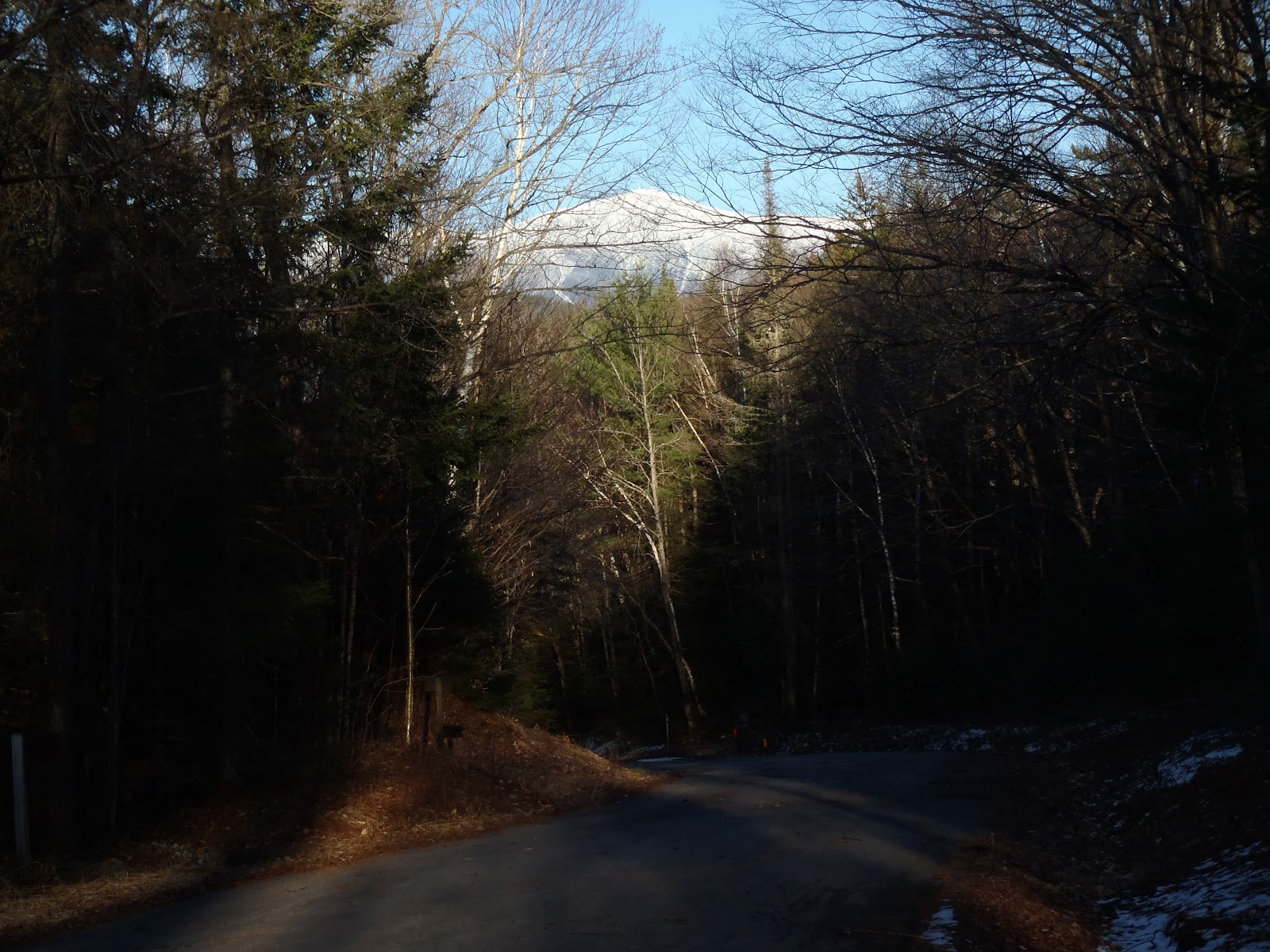
Next, I got ready for the gallop down, which went very well with no falls. The road walk was not easy physically or mentally, but I had a nice few glimpses of Mt. Washington along the way to boost my spirits. Normally, Mt. Hale is 4.4 miles and 2200ft, but this time with the road closed, its nearly 10 miles. In total for the day, I hiked 21.3 miles and 6,750 feet of elevation gain.


Since I was back to my car around 5:30pm, I had a whole bunch time to get settled for the night before my next hike on Sunday, which would be approximately another 20 miles but with more elevation gain than I just did today. That was something I was a little bit nervous of because I had not decided my exact route just yet in order to end on Carter Dome. I hopped in the car and my next stop was Gorham to get a huge meal in me for the night, some snacks for the night, morning, and hike, a couple of batteries, and some more drinks. After I picked those items up, I headed down Route 16 and car-camped it in the Pinkham Notch Visitor Center lot. This was safest lot in the area to do this, and because I was by myself with no car spot, its at least accessible for a few mile walk depending where I would end.

Be sure to stay tuned and read my next trip report on the Wildcats and Carters to see how I wrapped up this mammoth weekend hiking 8 peaks to finish my second round.

Hike Stats
Trails: Zealand Road, Hale Brook Trail
Distance: 9.4 miles
Elevation Gain: 2,950 ft
Book Time: 4hrs

Whiteface & Mt. Passaconaway - 3/31/2012

Its amazing how busy life is. My summer is booking up so fast with things to do - hiking, birthdays, parties, family get-togethers, traveling - I know I won't be hiking the next few weekends, so last weekend, I wanted to finish up my second round. So there it was, 8 mountains spread out over 3 wildernesses on the docket, requiring at least 3 separate hikes and two days to do it. I didn't add up the elevation gain until after - who cares, it had to be done anyways. One thing I decided was somehow I would finish on Carter Dome - Not an easy task when you still have to hike the Wildcats and Carters.

I got a 6am sharp start at Ferncroft Road on the way to Whiteface and Passaconaway. It was pretty mild to start, and I expected the temperature to remain consistent through the day. It was very comfortable. The trail below was clear, and snow and ice started to become a factor after the tricky section of ledges. Towards Passaconaway there was definitely much more ice as you will see below.

As I made it to the first open ledges, the sunrise was beautiful despite the overcast skies. I made it to the most notable ledge and began the tricky section up towards the top of Whiteface. It is such a fun climb, and that along with the beauty of this area makes this a great hike all around, despite the lack of expansive views.

With Hale to climb later in the afternoon with a long road walk (I was dreading), the focus was to keep moving. It took me 5hrs and 40min to complete the loop, and with very few breaks, I still managed to have all of the fun you see me having below.
Me on Whiteface summit (#41, round 2)
Dicey's Mill Trail heading to Passaconaway
Presidentials from Passaconaway viewpoint
Path to Mt. Passaconaway high point (#42, round 2)

Hike Stats
Trails: Blueberry Ledge Trail, Rollins Trail, Dicey's Mill Trail
Distance: 11.9 miles
Elevation Gain: 3,800
Book Time: 5hrs 40min