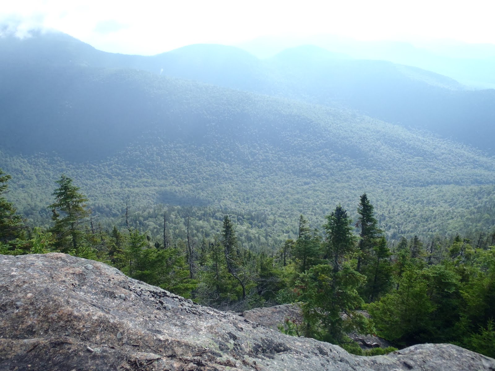
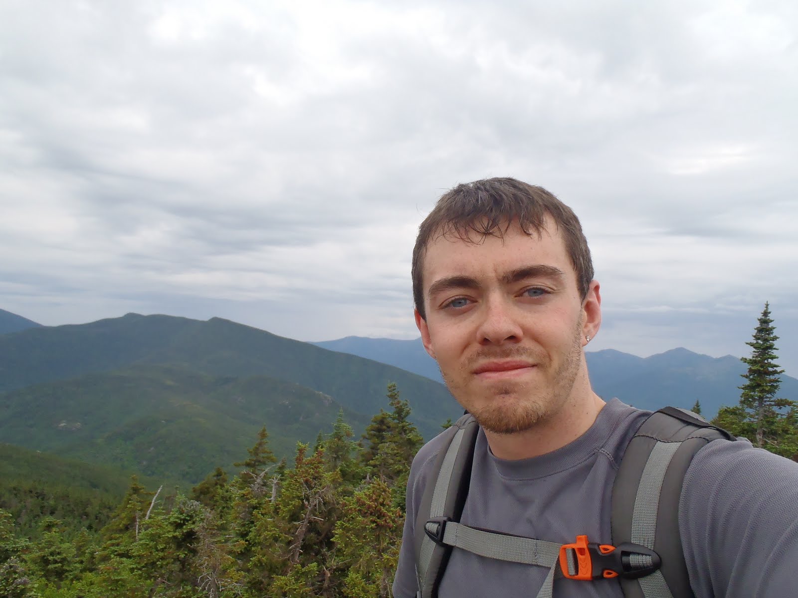
This Fourth of July weekend took me, my brother Bill, and our friend Sean to the mountains for an overnight traverse over the Wildcats, Carters, and Mount Moriah. The stats of this trip are impressive at 6 peaks, 18.2 miles (13.7 on the AT) and about 6900 feet of elevation gain, which is more gain than what is required to climb the highest peak in the lower 48. But more impressive were the views and the experience of hammock camping at 4000 feet on a beautiful night.
 |
| Ellis River crossing |
We arrived at the Glen Ellis Falls trail head around 7:30 and we took a walk down to see the falls before setting off. My dad joined us to the falls and back to where we would cross the river. The river was easily cross-able, and I wasted no time getting the hike started by jumping the rocks, going across the purposely placed log and to other side. We waved bye across the river, and the Wildcat Ridge trail immediately begins to ascend, and before you think there is any break, it gets even steeper, going up very challenging slabs. Along the way on one of the ledges, we came across a garter snake that darted out from the rocks, making itself known. Finally we reach Wildcat E, and it gets a little easier as we made our way to and past the chairlift to the summit of Wildcat D. On the observation tower, the Northern Presidentials loomed over us like giants in the hot morning sun. It was a great backdrop for my halfway point of this quest for NHs 48, my 24th peak of the year. We took a much needed break and soaked in the view.
 |
| Wildcat Ridge Trail |
 |
| Vertical section of Wildcat Ridge Trail |
 |
| Me on Wildcat D, my 24th peak - halfway done |
The 2 mile section between Wildcat D and Wildcat A is only slightly easier. The trail continues to ascend to the summit of Wildcat A. The view point over Carter Notch,near the summit of Wildcat A, provides one of the most tremendous views I’ve seen. The hike down to the hut is very steep. Once we could see the water of the lake through the trees we were relieved to take another break at the hut to refill our water and have some food.
 |
| View of Carter Notch from Wildcat A |
 |
| View of Carter Notch from Carter-Moriah Trail |
 |
| In the top center, look closely to see hikers at the Wildcat lookout |
The Carter-Moriah Trail from the Carter Notch Hut to the summit of Carter Dome was the most strenuous section of the entire hike. Although we weren’t going up rock slabs, there was absolutely no break in the ascent. The heat of the day and already having gone up the Wildcats and down over 1000 feet to the hut, certainly makes this section already more challenging then it is as it lies. On the way up, the look back over the Notch is just impressive. We could see hikers at the Wildcat view point, and it’s incredible to see (and experience) how high and how steep it is up there. We finally made it to Carter Dome just after 4pm.
 |
| Me at the cairn on Carter Dome just before the clearing |
 |
| The view from Carter Dome |
We had passed the halfway point of this traverse, which was our goal for the day. We continued on the Carter-Moriah trail to the junction for Mt. Hight. Mt. Hight is said to have the best views of this hike. We had just tackled the toughest part of our hike, going up several thousand feet and also going down over 1000 feet. Since it was after 4, we knew the extra half mile, including extra elevation gain, would take us longer at this time of the day, therefore we agreed to skip Mount Hight and continue on to find a suitable spot to camp. It will be there for another day, and there was already no disappointment in the views.
 |
| Ray of sunshine over the western slope of the Carter Range |
We came to Zeta Pass where it said no camping, so we re-filled our water using our Katadyn water filter, and continued further along the trail and found an area to explore. We bushwhacked over a few small hills that brought us to a relatively flat area well off the trail near the eastern slope. We were pretty tired. We set up the hammocks and cooked our dinners away from camp on the stove and ate a much needed bunch of calories. Dinner (for me) was a 2 serving beef teriyaki and rice. We fended off the flies as we ate. It was nearing 8pm as we finished cleaning up our dinner stuff and hanging the bag. Bill and I gave cheers on this great hike with a little bit of Glenlivet before settling into the hammocks and getting some sleep. Bill and Sean had no problem sleeping, but it took me a while. There was a cool breeze all evening, it was a perfect night, so who cares if I didn’t get much sleep.
 |
| Our hammock set up |
 |
| Sunrise through the trees from our camp location |
I know I got some sleep because I was awoken by Bill just before 5, and we began to break down the hammocks. Each of us made our freeze-dried breakfasts and prepared to ascend South Carter. At 5:30am, the weather was already very warm and still calm, as it was all night. Shortly, we arrived at the wooded summit of South Carter, my 27th peak.
The section of the Carter-Moriah Trail between South Carter and Middle Carter has countless open viewpoints, either to the east or to the west. It was constant picture taking of the purple mountain majesty before us. Continuing on and ascending a bit more, we passed over the summit of Middle Carter at 4610 feet. After that, we were still getting great views as we descended Mt. Lethe to the North Carter Trail junction. We were planning that here, Bill and Sean would head 4.5 miles down the Imp Trail to Route 16 because they were running out of gas and didn’t want to push on the remaining distance, which was 8.5 miles. We left my brother’s Jeep at Bangor Street in Gorham, so he gave me his key, we reviewed the map, and parted ways.
 |
| Can't get enough of this |
 |
| Bill and Sean admiring the Northern Presidentials |
The trail going down from North Carter was very steep. It was a very long and careful descent of 1.9 miles to the Imp Shelter. After the Imp Shelter, there were a few close junctions that made it feel like I was getting somewhere. On the way to Moriah, there are rock slabs that require momentum to get up and still ledges providing views all around. I finally made it to the junction and saw the trail sign for the Carter-Moriah Trail. I climbed the vertical rock, .1 to the summit of Moriah. It was exactly 10am as I reached my 29th peak of the year, and my 6th 4000 footer on this hike. It was completely silent and the clouds were moving in. I took a moment to rest since I had a strong pace since I left Bill and Sean. I had some combos and water and I charged my cell phone with my battery charger so I had some juice in it before getting to the car.
 |
| Me on the Carter-Moriah Trail |
 |
| Summit of Mt. Moriah, my 29th peak of 2011 |
I then headed down the Carter-Moriah Trail, 4.5 miles to go to the car. I was surprised at how much of this 4.5 miles was still over rocky trail and above treeline. It felt like I was never going to descend, and then before even reaching Mt. Surprise, it started to rain. This immediately made the descent more challenging because the trail consists of a lot of rock. The descent is more gradual here, but man is it a long trail at the end of a hike like this. Finally after Mt. Surprise at 2160 feet, the trail began to descend below treeline. It was still pretty challenging, and unlike many of the lower sections of other trails I've done so far. Still raining, I was just pushing and pushing my way down, and finally, I bolted out of the woods onto the dead end of Bangor Street. Bill had called only 10 minutes before I got to the car. They had set up their hammock to relax for a few at the Imp Trailhead, but it began to rain, so they took shelter in the woods in their rain gear until I got there just a few minutes later.
This was an extraordinary hike, requiring great effort, and the views made it more than worth the effort. I’m still struck when I look at these photos, especially the ones looking back at the mountains we had just came over. I have crossed 6 great 4000 footers off my list, and I’m excited to be a whole lot closer to my goal.
Hike Stats
Trails: Wildcat Ridge Trail, Carter-Moriah Trail
Miles: 18.2
Elevation Gain: 6900 ft
To view the full album of this hike, click on the slideshow below. When looking at this album, two cameras were used, so they are not in complete order.